Designing a new riverside boardwalk

McCarthy Stone green space link to Strawberry field opens

New Strawberry Field/McCarthy Stone green space link. No stile!

Public access to McCarthy Stone Green landscaped area

Wheelchair access from Leander Court/Daisy Hill Court path. Photo: Hilary Hann

Landscaping in the Yare Valley

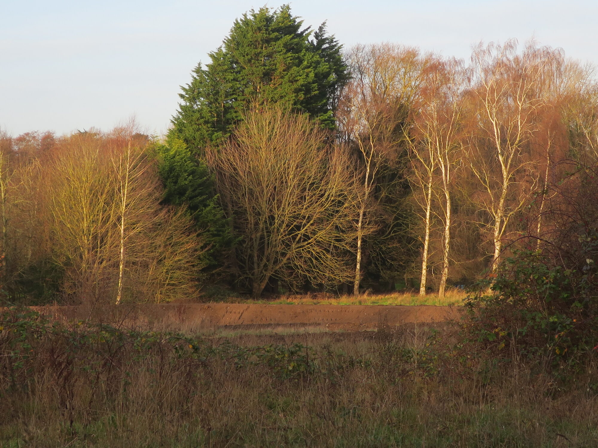
After much delay planting is now underway on the green space adjacent to the McCarthy Stone development on the Bluebell Road.  The landscaped area will have links to the Strawberry Field and to the Yare Valley Walk and will open up opportunities for new green circular walks.

The planting of trees and other environmental mitigations for achieving biodiversity net gain for the development were a condition of the planning approval. From the start of the development the Yare Valley Society has pressed for the completion of the landscaping of the green space and the other required ecological improvements. It has monitored its progress, and provided reports to the Norwich City Council Planning Department. A recent survey by YVS found that most of the environmental mitigations are now in place. Some, such as hedgehog gaps in the boundary fence, and boundary hedgerow infill planting, are still outstanding, and are being followed up.

At most points of entry to the green space there is fencing, and it is probably as well that general public access is restricted until the planted meadow areas have been given time to become established. People have been seen inside the area already. There are surfaced paths, and it is to be hoped they remain on the paths and treat the newly planted areas with respect. Moles already have access:

A mole explores its new environment

Have your say on our green and blue space

Norwich Western Link: A threat to our neighbouring green corridor?

Sustainable links to the Yare Valley

A planning application has been submitted to Norwich City Council for the Carrow Works, King Street, Norwich.

You can view everything submitted as part of the application online on the Carrow Works Norwich City Council website.

Public comment on the application should be made before 15th September 2023. You can comment in the following ways:
online at planning.norwich.gov.uk by searching for application number 22/00879/F
or by email planning@norwich.gov.uk.

The Yare Valley Society has an interest in this application because of the development’s outstanding potential to deliver safe means of sustainable travel from some large residential areas of Norwich to and from the Yare Valley Green Infrastructure Corridor (GISC), and, in particular, to and from the Whitlingham Country Park.

Cycling and walking routes in the development, properly implemented, should reduce vehicular traffic in the GISC. The resulting reduction in noise and pollution should benefit the wellbeing of wildlife and of all who use the GISC for informal recreation.

The Society will be putting the case that, in the interest of safety of walkers and cyclists, and to best encourage a modal shift to sustainable people movement, the cycling routes should (a) be segregated from the walking routes, and (b) follow the recommendations contained in the Department for Transport, publication Cycle Infrastructure Design LTN 1/20 July 2020.

Please give your support to the parts of the application which will improve walking and cycling to and from the Yare Valley corridor.

Development proposed in Yare Valley Corridor

Planning applications have been submitted to Norwich City Council, South Norfolk District Council, and Broadland District Council for the development of the Deal Ground at Bracondale. The Yare Valley Society is concerned about any development that could impact on the effectiveness of the Yare Valley green corridor, from Bawburgh Lakes to Whitlingham Country Park, in its roles of sustaining biodiversity, combatting and mitigating the effects of climate change, and providing a green space for informal recreation.

The Application Number for Norwich is 23/00774/RM. The proposal is for “Reserved Matters of appearance, landscaping, layout and scale of outline planning permission 12/00875/O ‘Outline planning application (full details of access) for a mixed development consisting of a maximum of 670 dwellings; a local centre comprising commercial uses (A1/A2/A3): a restaurant/dining quarter and public house (A3/A4); demolition of buildings on the May Gurney site (excluding the former public house); an access bridge over the River Yare; new access road; car parking; flood risk management measures; landscape measures inc earthworks to form new swales and other biodiversity enhancements including the re-use of the Grade II Listed brick Kiln for use by bats.”

“The Consultation Expiry Date is 12 August 2023”

You can view comments from the public and other consultees as they are added to the application file throughout the assessment process on the council’s planning website. Search for application number 23/00774/RM and select the Comments tab. You can use the same website to make your own comments, or you can make them by email to planning@norwich.gov.uk.

To view the application made to Broadland and South Norfolk Council please visit their planning website and search for application number 2023/1825

The Yare Valley Society will be examining the application carefully, and will respond as appropriate, particularly in relation to:

Yare Valley Green Infrastructure Corridor and Parkway.

It will look for an easing of the pinch point in the valley green corridor at Lord Boswell’s Green. The pinch point section has recently been further degraded by the removal of mature trees along the drainage channel between the Green and the development. To what extent will the proposals compensate for this damage?

County Wildlife Site

The present County Wildlife Site is outside of the development area. To what extent will the integrity of the wildlife site be protected? How might its biodiversity be improved? How might public access be restricted to safeguard wildlife?

Pedestrian and cyclist links through the site

How might the pedestrian and cycle links through the site contribute to the long-term aim of a Yare Valley Walk from Bawburgh Lakes to Whitlingham Country Park. Will there be a link over Yare linking the development to the Whitlingham Country Park? How will it link with the cycling and walking routes into the City?

Flooding

Will the development increase or decrease the likelihood of flooding upstream and downstream in the Wensum and the Yare? What safeguards are being put in place?

Please have a look at this application and comment on the proposals, perhaps bearing in mind the questions raised above, as well as your own questions.
River Path Improvements Revised

A new planning application, 23/00082/D, is a revision of improvements to part of the Yare Valley Walk from the present improved path near the Strawberry Field to the Flyover. At the flyover the improvements will link with the recently completed Cringleford Meadow paths. The work is to satisfy a condition laid upon Phase 2 of the McCarthy Stone development. The application is a modified form of the original application, which was announced in the News page on August 2022, and now replaces it. The plans are to be found by searching using the reference number at the Norwich Planning Portal.

Another Planning Application for McCarthy Stone Bluebell Road site.

Planning application for hole in the ground “Pond” reduces public green space

Another application, 22/01567/F, has been made relating to the McCarthy Stone phase 3 development on Bluebell Road. The application is for enlarging the attenuation pond constructed for water runoff of phases 1 and 2 to cope with phase 3. The use of “pond” although not technically incorrect may give a misleading picture of what is being proposed. Attenuation ponds for developments can be unsightly and potentially dangerous. An attenuation pond in a public access green space linked into the projected Yare Valley Parkway should be more than a hole in the ground. It should be safe and add to the amenity of the open space rather than detract from it.

Existing Attenuation Pond for phases 1 and 2.

The Yare Valley Society has several concerns about the proposals:

Restriction of public green space

The pond extension as positioned would further restrict the Public Access Green Space being made available under phase 2 of the development (now under construction). It should be a separate pond contained within the original Phase 3 development area.

Size

Insufficient attention has been paid to measures that could reduce the size of the attenuation pond e.g. by a greater use of water permeable surfaces of drives, roads and parking areas etc., and by use of rainwater harvesting (e.g., rainwater tubs, rain gardens) within the site.

Design and Planting

Insufficient attention has been given to its design and planting. It is a large feature in a public green space and so itshould be sculpted to create a natural setting. It should then be planted with trees, shrubs and other plants to improve visual appearance, provide safe public access, and provide habitats for wildlife.

Water Quality

It is not clear what steps are to be taken to ensure the water entering the pond is of sufficiently good quality to avoid hazard to wildlife or to the public.

Management

A Management Regime will need to be put in place to maintain and improve biodiversity, amenity, and water quality of the attenuation pond into the future.

What is possible?

The attenuation pond is a SUD (Sustainable Drainage System), and modern designs for SUDs in public green spaces maximise the potential for SUDs to contribute to the ecology and amenity of their surroundings. Key design principles for SUDS can be found on p 11 of the RSPB publication “Sustainable Drainage Systems – Maximising the potential for people and wildlife” . The publication shows what is possible with foresight and planning.

If you share the YVS concerns, please respond to this application by going to the Norwich Planning website, and inserting the reference 22/01567/F for details. Please make clear in your response why a properly designed and sited attenuation pond is important to you personally. Please act ASAP.

The Yare Valley Society’s submission on the application is here.