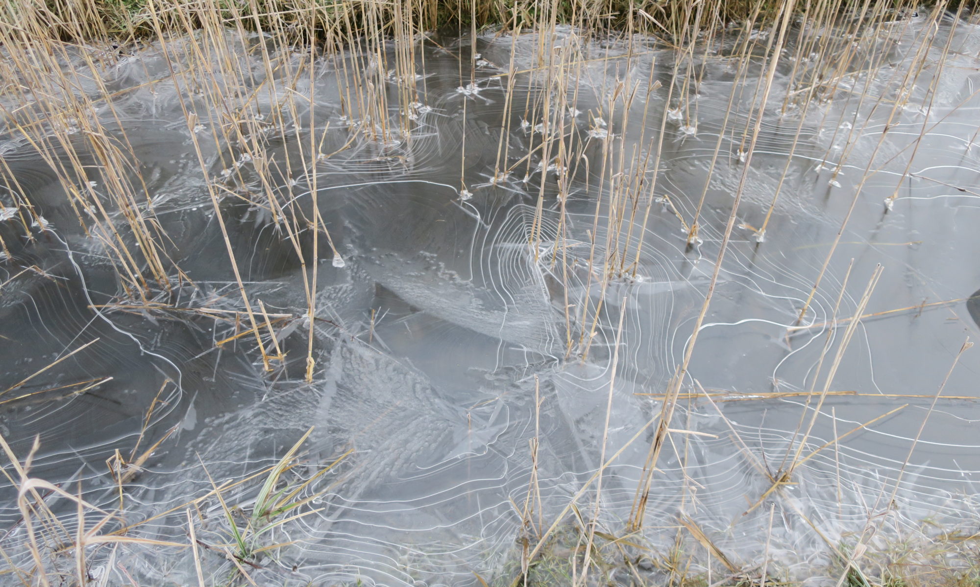
Picture: Gate to Marston Marsh – Jack Gentle
The Yare Valley Walk Guide
The Yare Valley Walk is a nine and a half kilometre (6 mile) walk in the Valley from Bowthorpe Southern Park to Harford Bridge. Much of it passes close to water, either river or broad, and through woodland, and marsh. The walk links all the major places of interest in this part of the Valley including several nature reserves (see below), SSIs, the University of East Anglia campus and the Sainsbury Centre for the Visual Arts and Sculpture Park. Many areas adjoining the walk are open access and so available to explore.
The popular The Yare Valley Walk guide is no longer available in a paper version. During the Covid pandemic we made the guide available online, and we are happy to say the guide is still available in this form.

The Society is looking at options for updating the guide for the future. Please let us know of any material you would like to see included in the guide, and what you would consider as an attractive format.
Guide Updates and Corrections
Page 10 The “Strawberry Field” is now open to the public. It will be managed as a meadow. It is adjacent to the Bluebell Road and lies between the donkey fields and the McCarthy and Stone Development Site. The path along its southern edge is shown on page 10, but another path has been created along its northern and eastern edges. There are also mown paths across the meadow.
Page 13 The “Bridge of Dreams” over the Yare in Bowthorpe Southern Park is now open. It links the walk with Colney Village and Church on the Watton Road and completes the line of an ancient track-way (now a cycle-way in residential Bowthorpe section).
Page 13 The walk is shown as reaching the second roundabout on the LHS of the map. At present the walk stops at the first roundabout.
Page 14 Halfway down the page, should read “…and the new housing of Three Score on the right…”
Map of the Yare Valley Walk
A thank you to Peter Chamberlin who has produced his interpretation of the walk using OpenStreetMap. You can find the map here.
The Norwich Fringe Health Walks
A colourful booklet describing some of the walks in the Valley is available to download here.
Of the 15 graded walks in the booklet, no less than 4 are in the Yare Valley Green Corridor:
Walk 7: River Yare and Earlham Park
Walk 8: Earlham Millennium Green and Earlham Marsh
Walk 9: River Yare and Marston Marsh
Walk 11: River Yare and University Broad
Stay green and healthy by accessing these walks by foot or cycle from Norwich, Keswick, Cringleford, Colney, and beyond.
Norwich Local Nature Reserves
There are eight Norwich Local Nature Reserves. Five of them are in the Yare Valley, and all have public access. Going downstream the Yare Valley reserves are:
Bowthorpe Marsh (5.7ha)
Earlham Park (Violet Grove and the Heronry (7.8ha))
Eaton Common (6.2ha)
Marston Marsh (26ha)
Danby Wood (3.4ha)
(1 hectare is 10 000 square metre, or 2.47 acre.)
University of East Anglia Campus Trails
Nature Trails
There are several nature trails including a tree trail.
Maps and details are here.
Sainsbury Centre Sculpture Park and Trail
A thought-provoking trail for adults and children alike. Maps and other resources are here


