An AI Data Centre is being proposed on the large triangle of land opposite Tesco near Harford Bridge. Data centres are already causing concern in other parts of the country because of their size, energy and water requirements, heat output, etc., etc, …..
The environmental impact of the Centre on the Yare Valley Green infrastructure Corridor could be huge!
Respond now to the pre-planning application consultation which ends on July 12. You can find out more by attending an event at the Keswick Reading Rooms between 3pm and 7pm on July 7 when the plans can be discussed.
Here is a link to what is being proposed: apex Norwich Data Centre . If the link does not work, try using another browser!
The clarity of the Apex site is less than adequate, and so do get along to the event on July 7 if you possibly can.
There are many questions to be asked, and some of the questions the YVS committee will be asking are in the latest Newsletter N128 July 2026.
Respond now to the pre-planning application consultation of LNT Care Developments on their proposals for a 66 bed Care home on the former Bartram Mowers site, Bluebell Road, Eaton. This is a large structure that impacts on the Yare Valley Green Corridor. You have only until Thursday 11th June 2026 to respond.
Care Home would occupy roughly the position of existing building Photo: Lisa Morgan
The proposals are here, and the response form is here.
We feel the present proposals are woefully inadequate for a large structure that will be visible from many directions in the Valley Green Corridor:
Contrary to the claims made by LNT:
The design seems very much to be from a standard pattern book, more suited to an inner urban area. There is little evidence of materials (or design) that are “in keeping with local styles” or with the local setting adjacent to the Yare Valley Green Space.
The proposals “include new planting and landscaping throughout the site, alongside the retention of the majority of the existing trees”. Unfortunately, the development boundary (inside the red line) is very tightly drawn around the structure, and is far too restrictive for adequate “softening” landscape around the structure, and excludes almost all the existing mature trees. Is it really necessary to remove any mature trees within the site?
LNT state that “the existing mature trees along the boundary of the site sit outside of our site area and will therefore not be removed as part of our proposals.” LNT may not remove them, but this is an admission that they have no control over the possible removal of the existing mature trees in the future. Such removal could have a devastating visual impact on the views from the surrounding area including the Strawberry Field. The proposals are unacceptable unless the site boundary can be drawn more widely to include the existing mature trees that would help to screen the structure.
Screening trees are outside of development site. Will they be there in the future? Photo: Lisa Morgan
In the propsals we can find no mention of measures to deliver a net biodiversity gain. Such measures are important for a development adjacent to the Yare Valley Green Corridor.
When completing the feedback form, if you are against the proposals in their present form, please avoid saying anything that might be construed as supporting the development e.g. avoid responding to question 2. Good luck!
Please write now to your MP to give your strong support to the Lord’s amendments to the Planning and Infrastructure Bill 94 and 130 due for imminent consideration.
The Green Infrastructure Corridor provided by the Yare Valley on the edge of South Norwich has important roles in promoting wildlife, limiting and combatting climate change, and as being a place for informal recreation for Norwich residents and beyond. Both of these amendments are importance to safeguard the well-being and continued existence of the Corridor.
The river Yare is one of the globally rare chalk streams capable of sustaining a rich and varied wildlife. Amendment 94 should help to safeguard these precious chalk streams, a responsibility we as individuals, but also as a nation, have towards the retaining this character of wildlife habitat in the world.
Amendment 130 should help to safeguard the Valley’s wildflower meadows and woodlands. Much work has been done in the Valley to improve both in recent years, thanks to the efforts of many volunteers including those with Yare Valley Meadow Makers, the Norwich Fringe Project, the Conservation Volunteers, and, joined most recently, by the UEA Biodiversity Heroes. This effort and goodwill in enhancing the Valley must not be threatened by development that does not properly recognise the value of green space for maintaining human and wildlife well-being.
Either email your MP directly of make use of the Wildlife Trusts website to forward your email.
Please help YVS to safeguard the Valley by responding to a consultation on the likely impact of installing pylons, solar panels, and other energy developments in the Yare Valley.
Pylons on Marston Marsh?
The Background
South Norfolk District Council is consulting on a draft Supplementary Planning Document (SPD) which deals with Landscape Susceptibility in relation to Energy Generation, Storage and Transmission as it relates to Local Character Areas* (LCAs) within its boundaries. It has drafted assessments of how susceptible the LCAs are to the development of solar photovoltaic panels, anaerobic digestion (AD) plants, battery storage facilities, overhead powerlines including 400kV lines that utilise the largest pylons (35-50m), underground cable routes, and substations. Among the LCAs assessed is LCA F1: Yare Valley Urban Fringe which is a part of South Norfolk that lies in the Yare Valley on the south side of the Norwich boundary (the river is the boundary).
The Yare Valley Society is concerned that the present draft susceptibility assessment in the consultation does not take fully into account the special circumstances of LCA F1. It is unique amongst the LCAs of South Norfolk, lying as it does in an urban fringe and forming part of the larger Yare Valley Green Infrastructure Corridor.
YVS is pressing for LCA F1 to have a special status and be included in the main body of the report under its own separate section. The YVS case for special status is here.
For a second submission to South Norfolk Council, YVS is preparing a detailed response to Appendix 3 Landscape Susceptibility Analysis of F1 (Pages 76 to 85). You might like to have a look at this and send in your comments to Planning at South Norfolk (email above).
Thank you for caring for the Valley
*Local Character Area status provides a degree of protection from inappropriate development. In the case of the Yare Valley LCA this is reflected in Policy DM 4.5 Landscape Character and River Valleys: “All development should respect, conserve and where possible, enhance the landscape character of its immediate and wider environment. Development proposals that would cause significant adverse impact on the distinctive landscape characteristics of an area will be refused. …”
“The so-called Nature Recovery part of the Bill is a Trojan horse – it’s a misnomer because, in reality, it is a licence to destroy. It replaces vital nature protections with a weaker substitute, … [and so] … it puts irreplaceable habitats and threatened species at risk.”
Craig is not alone, Beccy Speight, RSPB chief executive, says:
“… the Bill in its current form will rip the heart out of environmental protections and risks sending nature further into freefall. … The evidence clearly shows nature isn’t a blocker to growth. The government has identified the wrong obstacle to the problem it’s trying to overcome, and that has led it to the wrong solutions.”
Even the government’s own body, the Office for Environmental Protection (OEP), has warned that the Planning & Infrastructure Bill will cause “environmental regression”.
The Yare Valley Society believes the Planning & Infrastructure Bill threatens the community’s ability to protect the green space corridor of the Yare Valley. The Bill weakens the present requirement that a development should deliver a “net biodiversity gain”. It allows developers of small and medium developments (the majority) to transfer measures to mitigate environmental damage away from the development site to elsewhere. This means it reduces the likelihood of new developments near the Valley having green spaces that could serve as stepping stones, to link the corridor with the wider green ecology network. One final aspect is that it reduces the protections to globally rare chalk streams, of which the River Yare is one.
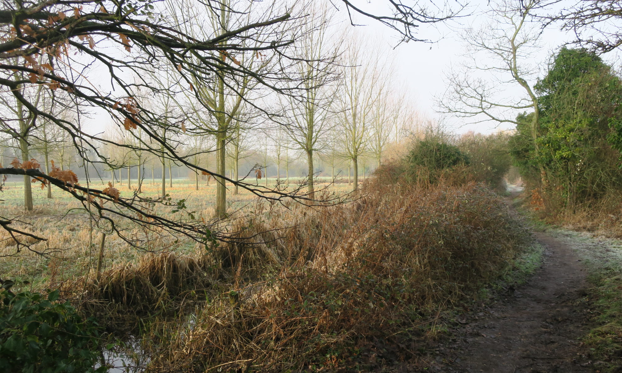
Beside the river Yare – a globally rare Chalk Stream Photo: John Elbro
Go to the Wildlife Trusts website to do this easily. It strengthens your message if you can tell your MP why Green Space and Wildlife are important to you personally, ideally by mentioning the Yare Valley.
In the past year or so, representatives from the Yare Valley Society have participated in consultations and workshops to guide the formulation of a new updated Green Infrastructure Strategy for Greater Norwich for up to 2038. The Greater Norwich Growth Board has now approved the Strategy and this month YVS representatives attended its official launch at the Sainsbury Centre at UEA.
UEA Iris has a visitor Photo: Rachel Taylor
The Strategy focuses on “delivering multiple benefits: nature-rich places, active and healthy communities, thriving economies, improved water management, and resilient climate-positive environments. … [It is] … a significant milestone, which paves the way for a greener, more connected Greater Norwich.”
For an overall view of the entire Strategy go to Greater Norwich Green Infrastructure Strategy Story Map.
You can explore the hoped for outcomes of the Strategy by going to the Strategy Documents and selecting the Strategic Delivery Plan 2025-2030 and look at the Proposed Strategic Green Infrastructure Initiatives in its Delivery Programme.
This news item will focus on the initiatives that relate to the key role the Yare Valley has in the Strategy as a Strategic Green Infrastructure (GI) Corridor.
Reproduced by kind permission of the Greater Norwich Growth Board
The Yare Valley Society has long pressed for the Valley Corridor to be regarded as a single entity in planning, and this long held vision is promoted in the “Southern Norwich Yare Valley Parkway” initiative. The initiative will “encourage projects that support development of a major linear park connecting a potential new country park at Bawburgh and Colney Lakes west of Norwich with Whitlingham Country Park to the east, including completion of the Yare Valley Walk and improved links to the city centre, as well as potential links to the Wensum Corridor in Norwich and to the west, and restoration of floodplain fen habitats and riparian woodland along the river corridor”
Other initiatives indicate how the Parkway is to be embedded in the wider green infrastructure.
The Parkway will be linked to the “Norwich Green Grid Corridors” initiative. The initiative will “encourage projects that support enhancement of Green Grid Corridors within the densely built-up Norwich Urban Area, creating a strong and multifunctional green network connecting Norwich to the wider strategic GI network – through access improvements, including new/enhanced green spaces and waterside access, urban greening, food growing spaces, protecting and enhancing wildlife sites, and enhancing the City’s landscape setting (including wooded valley sides and ridgelines in particular)”
The Parkway will also link via green corridors to the Wensum Valley, to the surrounding country towards Wymondham and towards the Waveney Valley Strategic Green infrastructure corridor.
The “South Norwich to the Waveney Valley” initiative will “encourage projects that support enhancement of the Boudicca Way between Norwich and Diss including as access improvements and creating new circular walks linked to the Norfolk Trails network to align with the Norfolk Access Improvement Plan 2019–2029, and improved connectivity and enhancement of hedgerows and woodland habitats.”
The South-West Norwich to Wymondham will “encourage projects that support enhancement of the Strategic GI Corridor linking South-West Norwich with Wymondham including new and improved accessible greenspace, public rights of way network improvements and new greenways, pond restoration/creation, and expanding, strengthening and linking woodland, grassland and hedgerows”
These corridors are also intended to connect the Parkway to the existing Country Park of Ladybelt and to a potential new country park southeast of Norwich. The Parkway itself would provide a link between the existing Whitlingham Country Park and the proposed Bawburgh/Colney Lakes Country Park.
The Potential New Country Parks initiative will “encourage projects for the creation of new country parks potentially located to the west of Norwich at Bawburgh/Colney Lakes, to the south east of Norwich in the Caistor St Edmund area (focused around High Ash Farm/Venta Icenorum Roman Settlement) and to the north-east of Norwich.
These new county parks would provide additional larger-scale accessible greenspace to meet the needs of a growing population. They would also provide Suitable Alternative Natural Greenspace to address recreational impacts from visitor pressures of new development on wildlife sites protected under the Habitat Regulations in line with the Norfolk Green Infrastructure & Recreational Impact Avoidance and Mitigation Strategy”
Finally blue space has not been forgotten, of particular relevance to Bawburgh Lakes is the Blue Spaces initiative which will “encourage projects for the creation and enhancement of blue spaces, such as the restoration of gravel pits within river valleys to provide nature-rich wetland habitats and opportunities for access and water-focused leisure activities”
So far so good, and the Yare Valley Society welcomes the new Green Strategy as providing a clear vision for the future. Its success as a Strategy will depend partly on the funding available and partly on how much it becomes an integral part of the thinking for the planning and the policies of all the local authorities of the Greater Norwich Growth Board area.
UEA is moving forward with the support of the Yare Valley Society and other organizations to secure funding for the construction of a new boardwalk to replace the old worn out one.
Funding has now been obtained through the Norwich City Council for the design stage. UEA can now commission the boardwalk design and, if the City Council agrees the full project application is worth putting forward to the Greater Norwich Growth Board Infrastructure Investment Fund, UEA will submit the application in July 2025
Ahead of the design commissioning process, UEA are running two consultation sessions to hear from local organisations, community groups and schools about how the boardwalk could be restored and replaced in a way that makes the facility a more inclusive, welcoming and enjoyable space. The design will be community-informed, and so these consultations are an excellent opportunity to make suggestions and share ideas.
The consultations will take place on
Friday 9th May 9:30-11:30 [Venue: Roy Snelling Lecture Theatre, Bob Champion Building, NNUH. Free parking available.]
and
Tuesday 13th May 18:00-20:00 [Venue: Willow Centre, Round House Park. Free parking available.]
Yare Valley Society representatives will be at the Tuesday consultation.
The last obstruction to accessing the McCarthy Stone green space has now been removed, opening up more possibilities for circular walks in the Valley. In the original plans a stile was proposed for this access point, but YVS argued that a stile was inappropriate for a green space adjacent to a development for the over 55s.
New Strawberry Field/McCarthy Stone green space link. No stile!
The green space has been extensively planted, and so hopefully in a few years’ time the rather stark view from the Strawberry Field into the green space will be softened.
Two of the barriers to the McCarthy Stone green space have now been removed creating two public access points, one of which, with care, is practical for wheelchairs. The planned access point to the Strawberry field still remains blocked by a fence – although able bodied people have found a way round this. On the original plan a stile was envisaged for this point, but YVS has argued that this is not appropriate, particularly for a green space adjacent to an over 55s development, and it has asked for the access to be on the flat.
Wheelchair access from Leander Court/Daisy Hill Court path. Photo: Hilary Hann
One of the two new access points is from the path between Leander Court and Daisy Hill Court apartment blocks, and the other is from the footpath alongside the Cringleford Flyover linking the Yare Valley Walk (riverside walk) with Bluebell Road. The proper opening of the access point from the Strawberry Field will create new opportunities for short circular walks in the Valley.
There has been extensive planting of trees, shrubs and seeding of meadows. YVS asks users of the green space to take care to give the vegetation the best chance to establish itself, ideally by keeping to the surfaced paths.
After much delay planting is now underway on the green space adjacent to the McCarthy Stone development on the Bluebell Road. The landscaped area will have links to the Strawberry Field and to the Yare Valley Walk and will open up opportunities for new green circular walks.
The planting of trees and other environmental mitigations for achieving biodiversity net gain for the development were a condition of the planning approval. From the start of the development the Yare Valley Society has pressed for the completion of the landscaping of the green space and the other required ecological improvements. It has monitored its progress, and provided reports to the Norwich City Council Planning Department. A recent survey by YVS found that most of the environmental mitigations are now in place. Some, such as hedgehog gaps in the boundary fence, and boundary hedgerow infill planting, are still outstanding, and are being followed up.
At most points of entry to the green space there is fencing, and it is probably as well that general public access is restricted until the planted meadow areas have been given time to become established. People have been seen inside the area already. There are surfaced paths, and it is to be hoped they remain on the paths and treat the newly planted areas with respect. Moles already have access: