Planet Patrol is asking people to head to their local waterways for about 15 minutes around the 14th, 15th, and 16th of October 2022 to report on their condition. It is part of the Planet Patrol Autumn Water Watch programme.
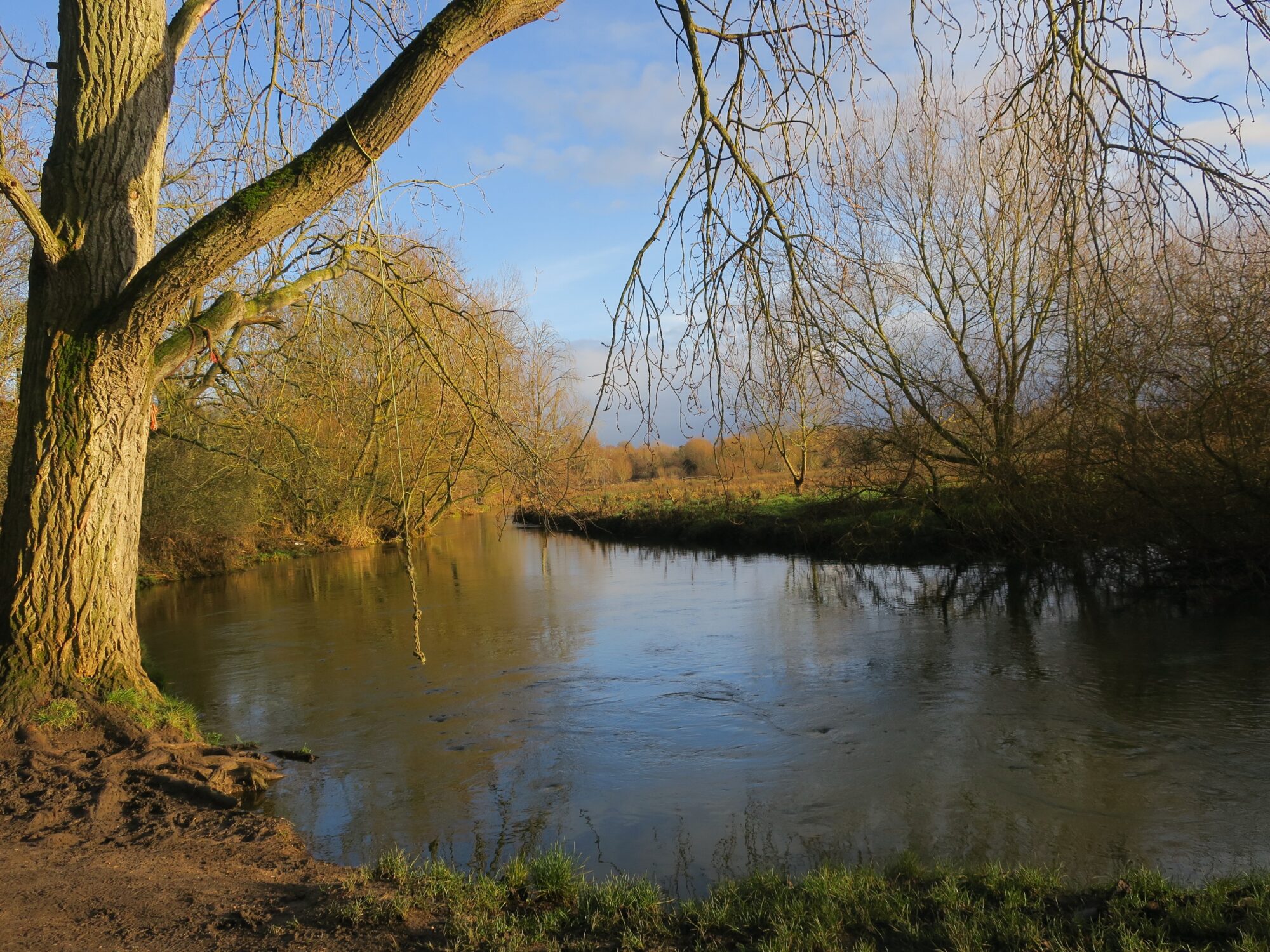
How clean is the water you swing over?
“Water is central to the health, well-being and livelihood of everyone on this planet. In the UK, the biggest risk to water quality is the ongoing lack of sampling, monitoring and reporting. The impact on both human health and the ecosystems that rely on them are still largely unobserved and unreported. Right now we have a monumental information gap that needs to be urgently filled, and that can be started through simple observations – something we can all do.
If you don’t truly understand the problem, how can you solve it?”
To take part you can download their App from the Apple or Google store or you can complete their online form.
The Colney Hall estate lies to the south of Bawburgh Lakes and west of Bowthorpe Southern Park. It is a key contributor to the landscape character and biodiversity of the Valley. Access to the estate is from the B1108 Watton Road.
An outline planning application for part of the Estate, with all matters reserved except access, has been submitted to South Norfolk District Council for a retirement living community of up to 210 extra care units with associated communal facilities, a 20 bed care home, an Innovation Centre to include; academic spaces, flexible office/ research and development spaces and administration offices and 20 student resident 6-bed flats and all matters reserved except for access.
Details of the development can be found at South Norfolk Planning by searching under reference 2022/1547.
A good start point is under the documents tab: Landscape & visual appraisal.
This is a major development on an environmentally sensitive site in the Yare Valley. The site lies outside of the areas approved for development in the Greater Norwich Local Plan. South Norfolk District Council Policies are also in force that are intended to safeguard the green landscape around Norwich, in particular Policy DM 4.5 Landscape Character and River Valleys, and Policy DM 4.6 Landscape Setting.
The Yare Valley Society committee is seriously concerned about this threat to build on the green space of the valley. The development can expect to impact on the visual landscape and biodiversity of the valley, and the effectiveness of the valley corridor in mitigating the effects of climate change (e.g. by reducing flooding downstream).
Please add your voice to that of the Yare Valley Society by writing in to South Norfolk District Council Planning Department giving your own personal view on this proposed development in the green space of the Valley.
Update: Technically the deadline for responses has now passed, but the South Norfolk Planning Department have assured YVS that comments will continue to be accepted up to the time of determination of the application. Please submit your comments ASAP.
Information about Outline Planning Applications
This is an outline planning application with all matters reserved except access. Applications of this kind can be used as a way of establishing the principle of development on a site, without committing to the precise nature of the development.
If Outline Planning Permission is granted further detail of the reserved matters must be agreed at a later stage. This means detail in the application could change, including the development’s appearance, landscaping, layout and scale. For more information see the National Planning Portal at
A welcome planning application is 22/01005/D for improving the part of the Yare Valley Walk from the present improved path near the Strawberry Field to the Flyover. At the flyover it will link with the recently completed Cringleford Meadow paths. This is to satisfy a condition laid upon Phase 2 of the McCarthy Stone development. The plans are at https://planning.norwich.gov.uk.
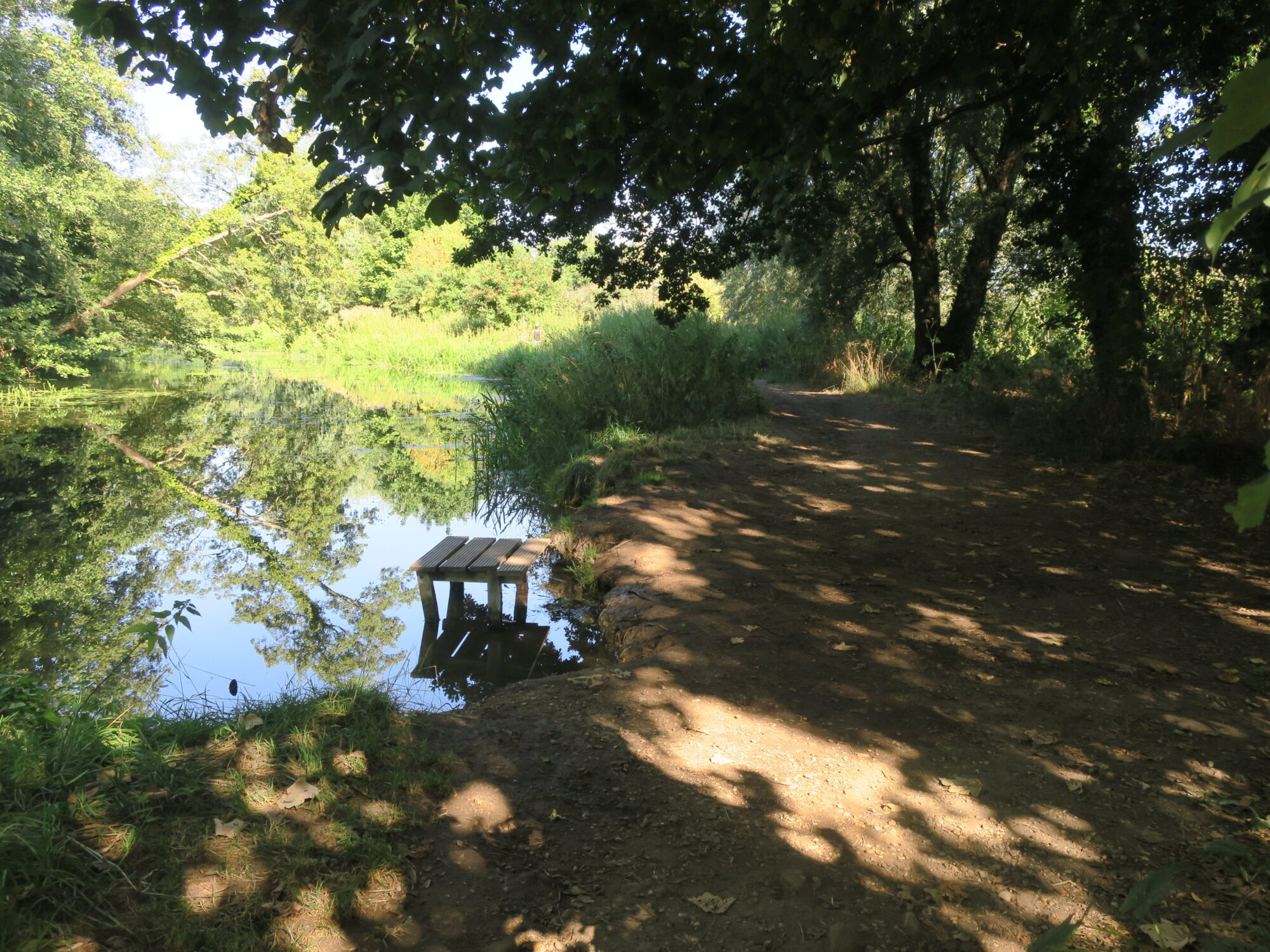
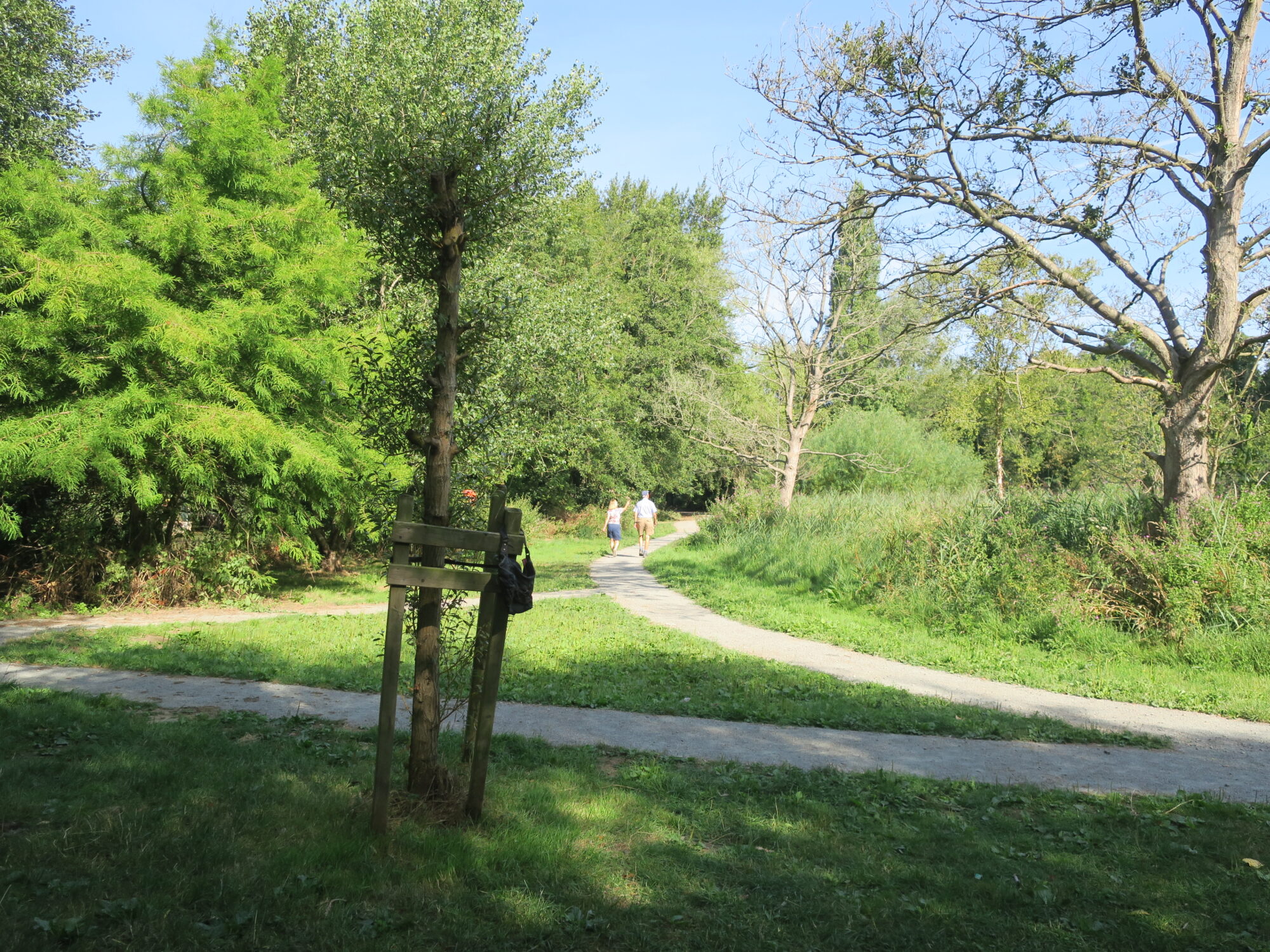
A lovely stretch of the river where path will be improved
The improvement will be along one of the prettiest stretches of the Yare Valley Walk where at times in the year marsh type flowers such as water lilies, loosestrife, marsh buttercups, etc. can be found. At present it looks less than at its best due to nettles and rampant willow herb which obscure the river in many places. In the past it has been a section that is muddy and difficult in times of bad weather, the improved surface should encourage walkers to keep to the path and to avoid trampling neighbouring vegetation. Please respond to the application by 29th August 2022 if you can see where improvements to the proposals might be made.
It would have been nice to report the latest planning application for the McCarthy Stone development on Bluebell Road was a model of best practice development in an ecological sensitive area. Unfortunately the proposals in the application are far from such a model.
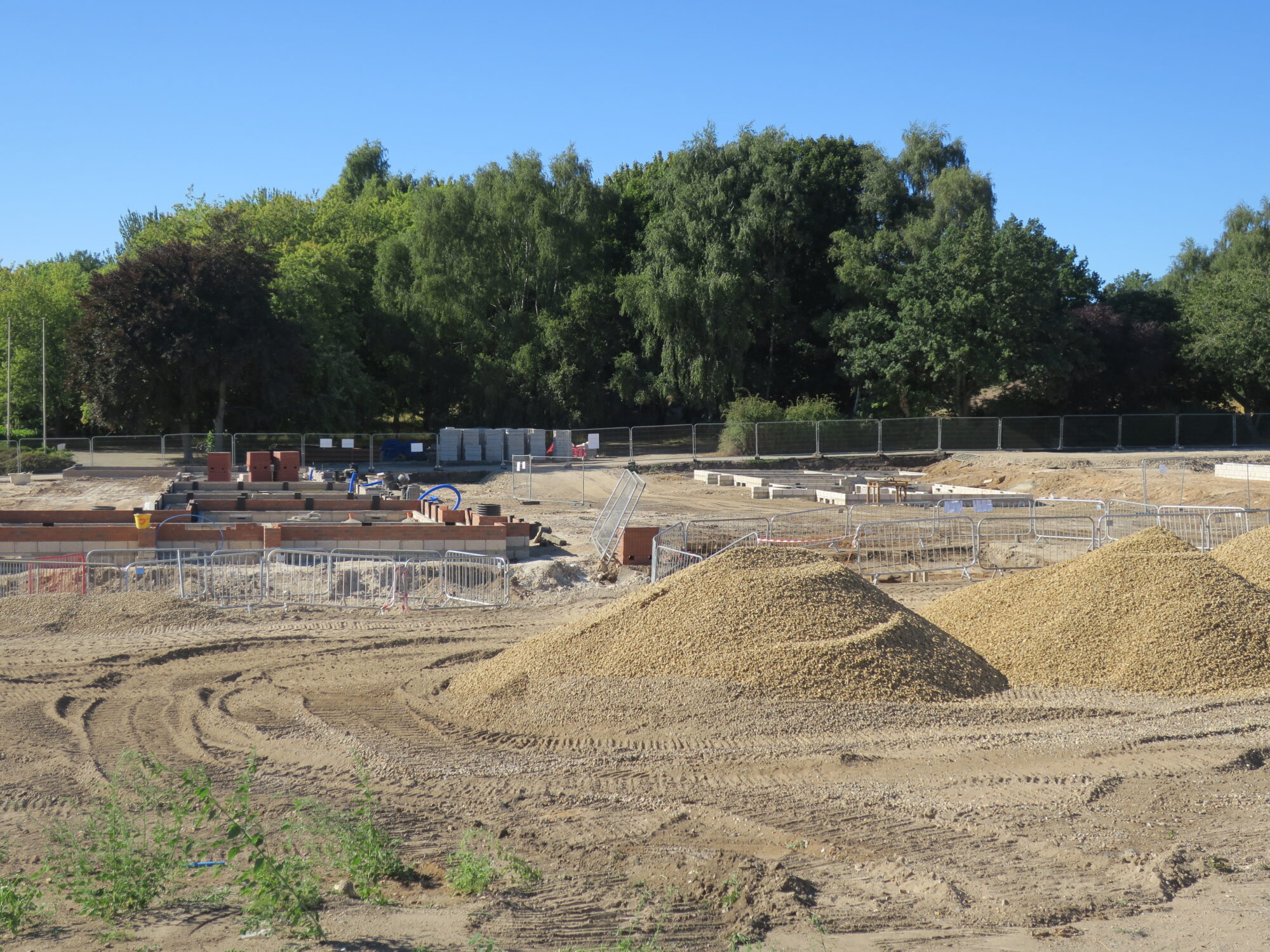
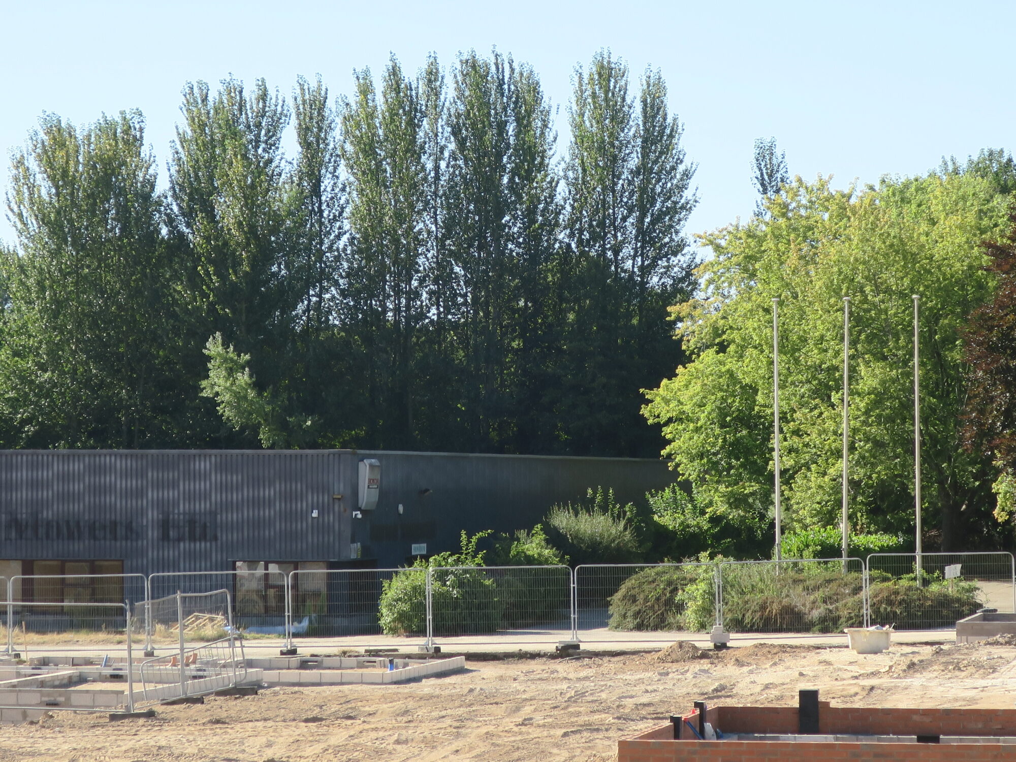
Foreground Phase 2 development, background (beyond fence) Phase 3 site
On a first look through the application, some concerns are:
Dwelling Density
The high dwelling density of the development and its design will have a serious visual impact on the landscape of the valley and will degrade environmental assets within and adjacent to the site. The high dwelling density should be reduced.
Policy R42 of the Greater Norwich Local Plan (GNLP) envisaged the number of dwellings for the whole of the Bartram’s Site as being “… in the region of 120 dwellings. This figure is based on an assumption that the site will be developed mainly at low densities to ensure that impact on the landscape is minimised”. The GNLP aim was to “minimise impact on the landscape of the Yare Valley and important views”, and for the development to “protect and enhance environmental assets within and adjacent to the site”.
McCarthy and Stone in their latest Phase 3 application are proposing to build 100 dwellings in Phase 3 alone. These will be added to those of Phase 1 (61) and Phase 2 (50) resulting in a total of 211, almost double the number of 120 envisaged in the GNLP. These high densities can be expected to have a detrimental effect on the environment, both visually and ecologically. The proposals breach seriously the dwelling density safeguard of the GNLP.
Location, size and design of Infiltration “Pond”
(N.B. “Pond” is something of a misnomer here, since for much of the time it can be expected to be dry. Basin might be a better name)
The Public Access green space that formed part of Phase 2, should not be degraded by a the insertion of a large infiltration basin. Any such basin should be incorporated within the original site area for phase 3.
While accepting that that an infiltration basin is necessary to reduce runoff into the river and limit flooding downstream, little attention seems to be given to reducing the basin size by a greater use of water permeable surfaces of drives, parking areas etc., and by use of rainwater harvesting within the site. Further reduction in runoff could be achieved by reducing the dwelling density, by retaining more of the existing vegetation, and by increasing the area of planted green space in the proposals. At the same time the site’s ecology would be improved.
Little indication is given of the design of the “Pond”. Properly designed infiltration basins can be made available for public access, and can be planted with trees, shrubs and other plants, improving their visual appearance and providing habitats for wildlife.
Many mature and semi-mature trees will be removed from the site
Ecological Gain
The UK biodiversity is generally acknowledged as being in catastrophic decline. More needs to be done on this site to enhance biodiversity and provide some “ecological gain”
McCarthy Stone’s own Ecological Report makes a number of recommendations for ecological enhancement. These include “Removal of existing trees on site should be avoided were possible” and “Removal of the existing hedgerows on the site should be avoided where possible and kept to a minimum if unavoidable” The proposals include the removal of most of the relatively mature trees and shrubs in contradiction of Ecological Report’s recommendations. The site tree survey suggests that many trees are not perfect specimens, but they are established, (important in drought conditions), and considerably more mature than any that are likely to be planted as part of the development.
Please take a critical look at and respond to the plans at https://planning.norwich.gov.uk, using application number 22/00298/F and selecting the Documents tab. The Layout Plan, Tree Survey and Ecological Report are good start points. Comment by 24th August 2022.
Your comment is essential if these proposals are to be improved.
Norwich City Council are “seeking your feedback and ideas to inform” their Biodiversity Strategy for 2022 to 2032 and their associated Biodiversity Action Plan.
A copy of the Strategy is available at https://gettalking.norwich.gov.uk/biodiversity-strategy The Yare Valley Green Infrastructure Corridor can be expected to play a key role in the strategy, linking as it does five of the eight Norwich local nature reserves. But there is also an opportunity to make suggestions as to how climate change and biodiversity decline can be tackled at a smaller scale. Your ideas can join the Big Biodiversity Conversation at https://gettalking.norwich.gov.uk/big-biodiversity-conversation.
The City Council improvements to Cringleford Meadow are now complete except for an Interpretation Panel that is yet to be added. The new car park has a much improved water permeable surface.
Cringleford Meadow Path Improvements
The improved path can be expected to link with other path improvements that are due to come into being as a result of a condition on the McCarthy Stone Phase 2 development on Bluebell Road, Eaton.
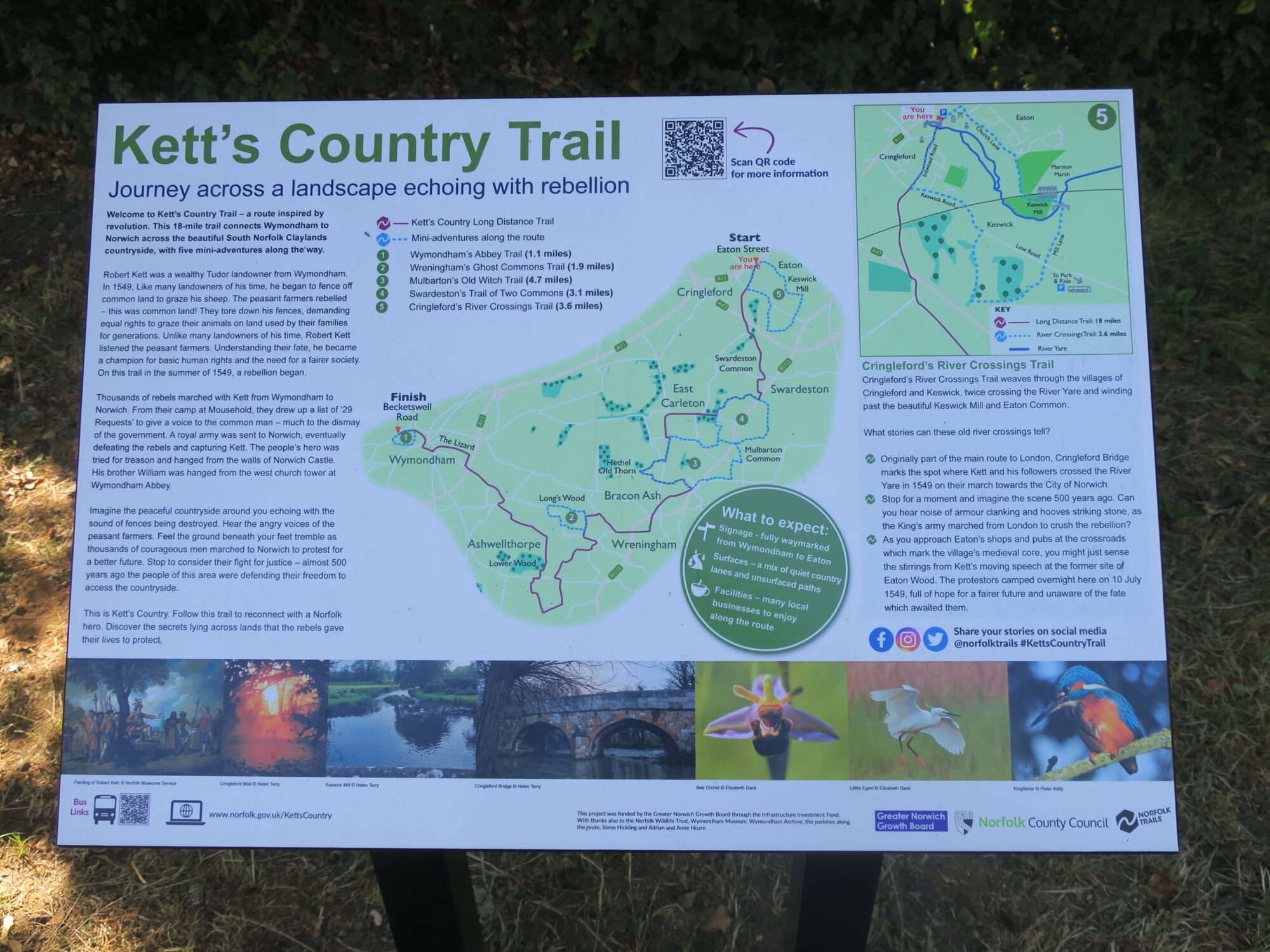
A display panel has now been installed next to the Kett’s Trail Sculpture in Eaton giving more details about the historical background of the trail. It also shows the circular walks that are linked with the trail.
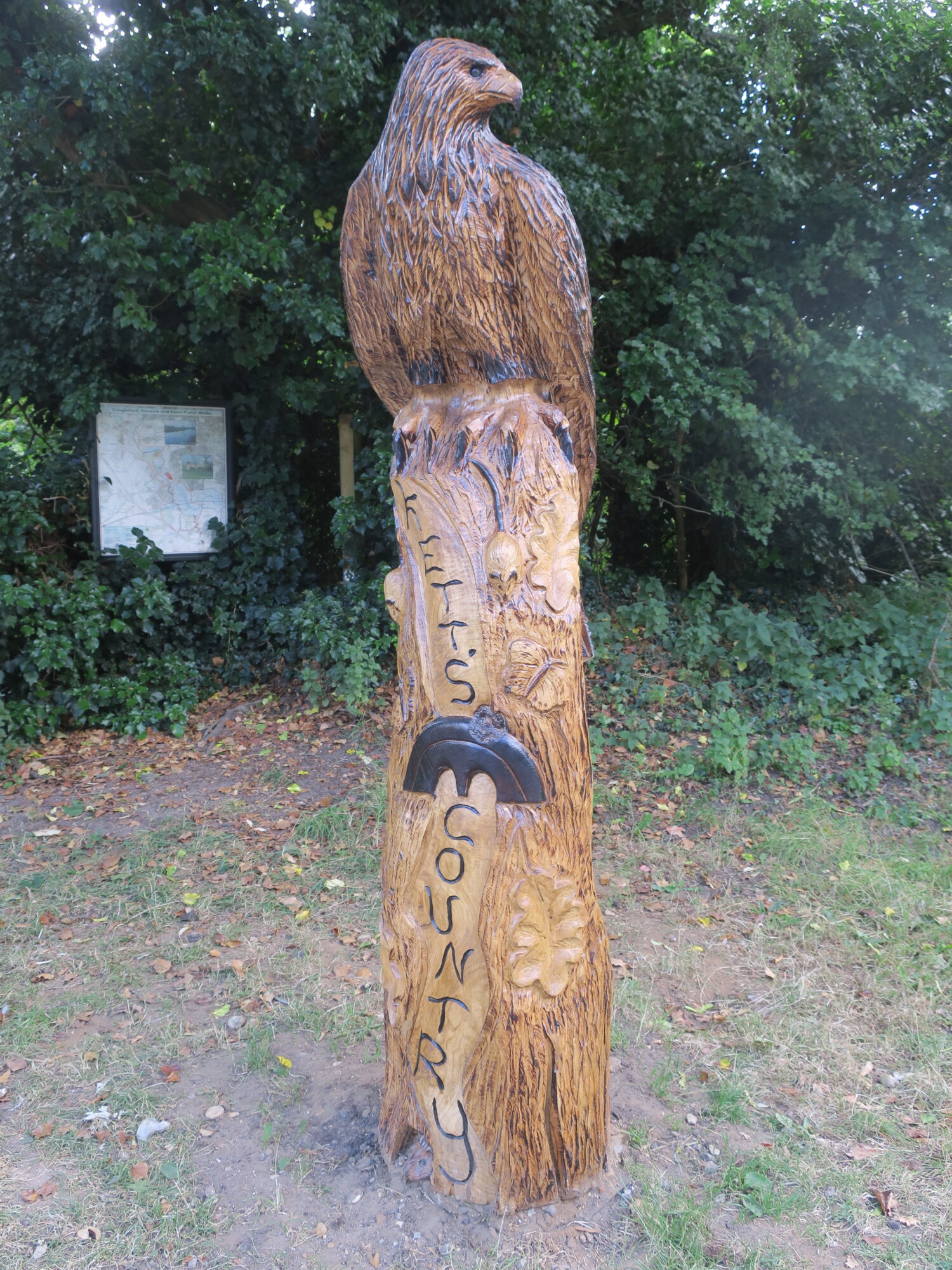
A sculpture marks the end point of the recently opened Kett’s Country Long Distance Trail and where it joins the Yare Valley Walk as it crosses Eaton Street. The 18 mile (29 km) trail begins at Wymondham where Kett’s Rebellion began in 1549. It does not follow the route of Kett’s original march on Norwich but does cross the Yare at Cringleford Bridge (built 1520), which was Kett’s initial approach to Norwich on his way to Mousehold Heath.
Sculpture featuring Cringleford Bridge, and Map display Board
The sculpture also marks the start point for the “Cringleford’s River Crossings Trail” (3.6 mile, 5.8 km), an attractive circular trail that explores the country on the south side of the river, and crosses back into Norwich just after passing Keswick Mill. Circular trails in the Valley help to take the pressure of the heavily worn paths on the Yare Valley Walk.
A suggested improvement to the circular walk (going counterclockwise) is:
On crossing Cringleford Bridge, turn left into Intwood Road and then turn immediately left into The Loke. On reaching the stables continue directly ahead on to an unsurfaced footpath (right of way) until reaching the entrance to the Cringleford Recreational Ground car park. Cross the car park to the corner diagonally opposite, then skirt the tennis courts and children’s play area on their southwest side to reach a path into Mark Lemmon Close. Turn left and then right to reach Keswick Road and rejoin the route on the map.
Information on the trails, and other circular trails from Kett’s Trail are here.
A project page has been added to the website. It is a page for anyone interested in publishing modest sized projects on aspects of the Valley e.g. the wildflowers to be found on Eaton Common. The first project to appear is a School Community Project by Jamie Kidd. It features the display boards to be found in the Valley on the UEA campus and on Marston Marsh.
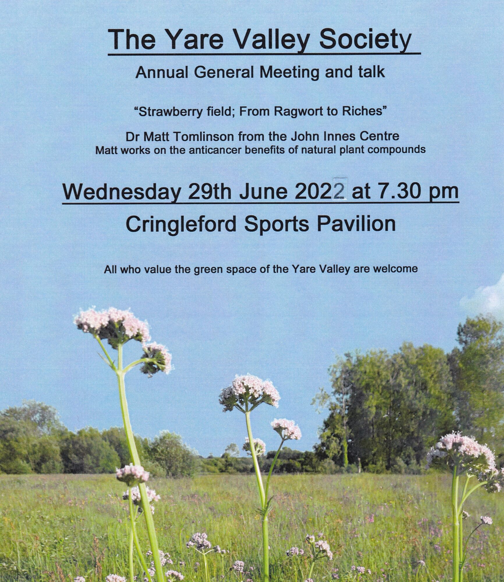
Anyone who values the green space of the Yare Valley has free entry to the YVS AGM and talk. The business of the AGM is followed by a talk by Matt Tomlinson from the John Innes Centre:
We normally manage to complete the business of the AGM in the first half hour. We will then be able to enjoy, “Strawberry field: from Ragwort to Riches”, a talk by Dr Matt Tomlinson from the John Innes Centre. Matt works on the anticancer benefits of natural plant compounds. The talk will be of interest to all who wish to see the biodiversity of the Valley improved, and also to those seeking to rewild their gardens. Matt started his interest in the Strawberry Field as a lockdown 2020 project. Over the last two years the Friends of Strawberry field has formed, and is working with the landowner to make changes to the management the field. The field is now rapidly heading towards being a rich community wildflower meadow. Spurred on by these successes the Friends are now also assisting with adjacent hay meadows. More on the work of the Friends and some of the wildflowers that can be seen on the Strawberry field are on their Facebook page