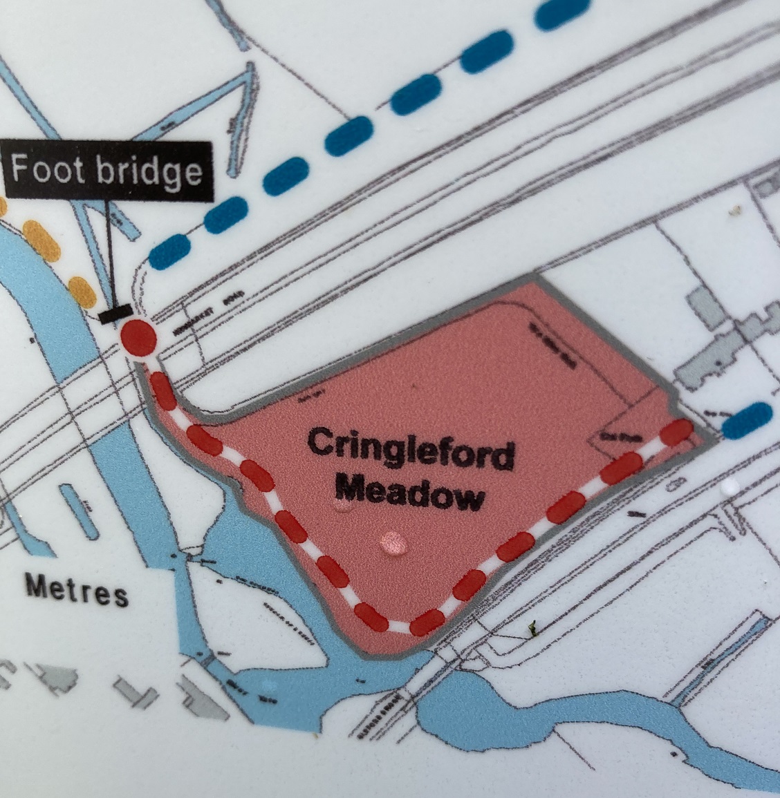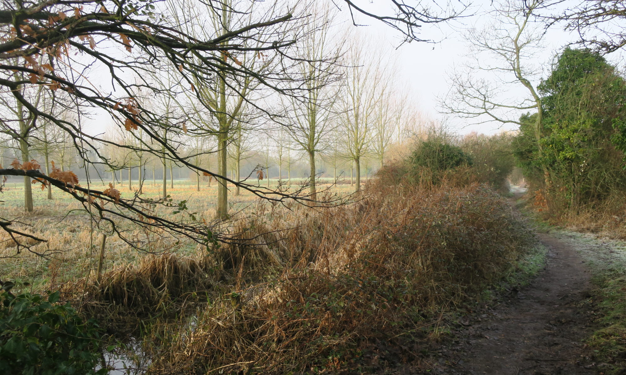
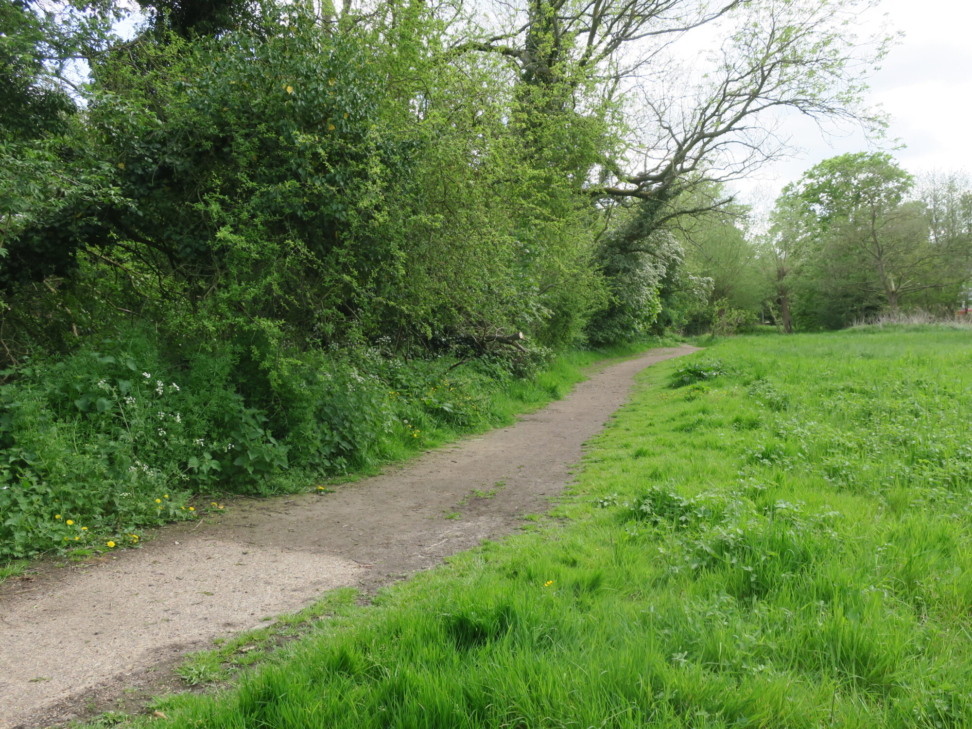
The path in Cringleford Meadow has long been muddy and difficult in times of bad weather. Both the path and the carpark are having their surfaces improved by laying compacted hardcore. The new all-weather path surface should make it easier to stay on the path and avoid trampling the vegetation in attempts to bypass the mud.
The Meadow will be closed from Monday 16th May for 8 weeks. On site notices give the diversion details. YVS understands the contractor will enable evening and weekend pedestrian access to the riverside path when and where safe to do so.
The full works comprise improvements to the path surface of the existing Yare Valley Walk alongside the river between Cringleford Meadow Car Park and the footbridge just north of the A11 flyover. The car park will also receive improvements with a gravel filled plastic grid system, similar to that at Danby Wood carpark, to regularise the surface and make the car park easier to use.
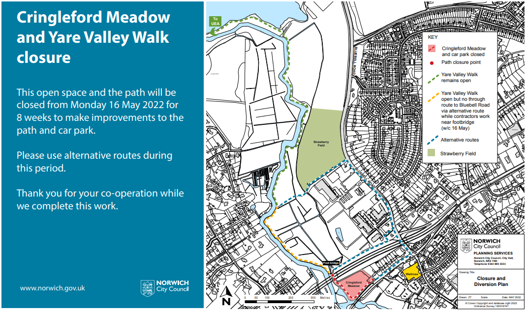
One of the alternative routes uses the not so widely known path alongside the flyover that was brought into being as part of the McCarthy and Stone development.