Bridge repair completed

The bridge over the stream below the Cringleford flyover has now been restored. Steel girders have been installed to give the new decking improved support from below. The bridge is now in use, but this section of the Yare Valley Walk can be expected to be closed in the near future for improvement work of the river path and banks. See earlier news for the 7th October more details.

Temporary closure of footbridge on Yare Valley Walk

Norwich City Services Ltd will be repairing the damaged bridge at Cringleford Meadow underneath the A11 flyover which provides access over a ditch along the Yare Valley Walk.

Norwich City Services Ltd carried out a rapid temporary repair of the bridge in the summer and will be returning on Tuesday 11th and Wednesday 12th October to carry out a full repair. This will involve installing new metal support beams to strength the bridge and installing recycled plastic decking boards. The bridge will be closed while the work is being carried out.

Metal support beams arrive for bridge reinforcement

The Norwich Fringe Project will be erecting notices to show a diversion to avoid the bridge. The diversion from the direction of UEA will be through the Strawberry Field, turn right on to Bluebell Road, turn right at Eaton Traffic lights, and then right again to enter Cringleford Meadow Car Park. The reverse of this route will enable you to re-join the Yare Valley Walk from the direction of the Cringleford Meadow Car Park. A map showing the diversion has been posted on the Walk:

Map of Diversion

Development proposed in Yare Valley Corridor

Planning applications have been submitted to Norwich City Council, South Norfolk District Council, and Broadland District Council for the development of the Deal Ground at Bracondale. The Yare Valley Society is concerned about any development that could impact on the effectiveness of the Yare Valley green corridor, from Bawburgh Lakes to Whitlingham Country Park, in its roles of sustaining biodiversity, combatting and mitigating the effects of climate change, and providing a green space for informal recreation.

The Application Number for Norwich is 23/00774/RM. The proposal is for “Reserved Matters of appearance, landscaping, layout and scale of outline planning permission 12/00875/O ‘Outline planning application (full details of access) for a mixed development consisting of a maximum of 670 dwellings; a local centre comprising commercial uses (A1/A2/A3): a restaurant/dining quarter and public house (A3/A4); demolition of buildings on the May Gurney site (excluding the former public house); an access bridge over the River Yare; new access road; car parking; flood risk management measures; landscape measures inc earthworks to form new swales and other biodiversity enhancements including the re-use of the Grade II Listed brick Kiln for use by bats.”

“The Consultation Expiry Date is 12 August 2023”

You can view comments from the public and other consultees as they are added to the application file throughout the assessment process on the council’s planning website. Search for application number 23/00774/RM and select the Comments tab. You can use the same website to make your own comments, or you can make them by email to planning@norwich.gov.uk.

To view the application made to Broadland and South Norfolk Council please visit their planning website and search for application number 2023/1825

The Yare Valley Society will be examining the application carefully, and will respond as appropriate, particularly in relation to:

Yare Valley Green Infrastructure Corridor and Parkway.

It will look for an easing of the pinch point in the valley green corridor at Lord Boswell’s Green. The pinch point section has recently been further degraded by the removal of mature trees along the drainage channel between the Green and the development. To what extent will the proposals compensate for this damage?

County Wildlife Site

The present County Wildlife Site is outside of the development area. To what extent will the integrity of the wildlife site be protected? How might its biodiversity be improved? How might public access be restricted to safeguard wildlife?

Pedestrian and cyclist links through the site

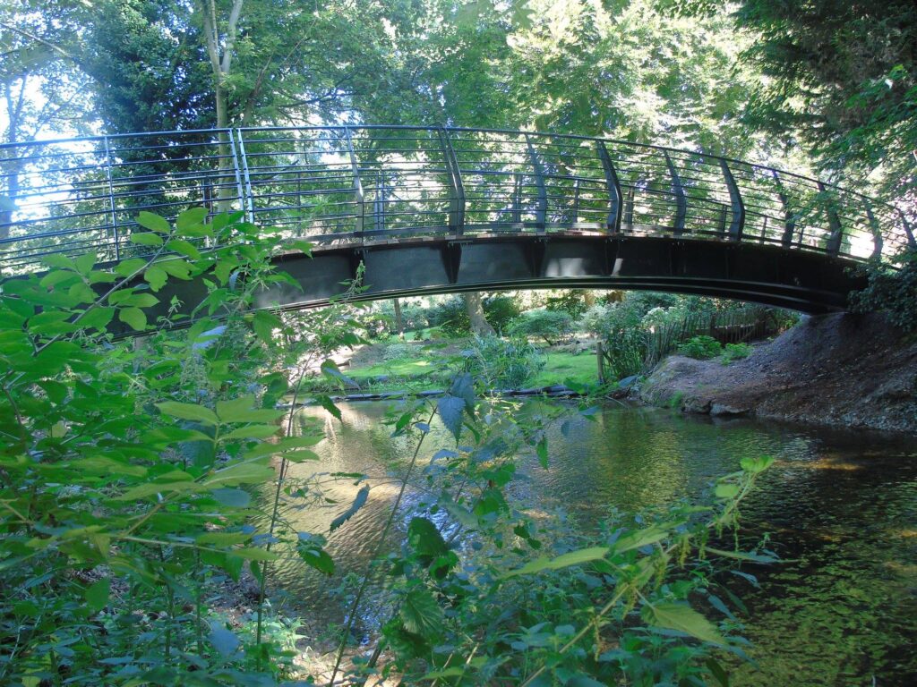
How might the pedestrian and cycle links through the site contribute to the long-term aim of a Yare Valley Walk from Bawburgh Lakes to Whitlingham Country Park. Will there be a link over Yare linking the development to the Whitlingham Country Park? How will it link with the cycling and walking routes into the City?

Flooding

Will the development increase or decrease the likelihood of flooding upstream and downstream in the Wensum and the Yare? What safeguards are being put in place?

Please have a look at this application and comment on the proposals, perhaps bearing in mind the questions raised above, as well as your own questions.

Sculpture marks end of Kett’s Country Long Distance Trail

A sculpture marks the end point of the recently opened Kett’s Country Long Distance Trail and where it joins the Yare Valley Walk as it crosses Eaton Street. The 18 mile (29 km) trail begins at Wymondham where Kett’s Rebellion began in 1549. It does not follow the route of Kett’s original march on Norwich but does cross the Yare at Cringleford Bridge (built 1520), which was Kett’s initial approach to Norwich on his way to Mousehold Heath.

Sculpture featuring Cringleford Bridge, and Map display Board

The sculpture also marks the start point for the “Cringleford’s River Crossings Trail” (3.6 mile, 5.8 km), an attractive circular trail that explores the country on the south side of the river, and crosses back into Norwich just after passing Keswick Mill. Circular trails in the Valley help to take the pressure of the heavily worn paths on the Yare Valley Walk.

A suggested improvement to the circular walk (going counterclockwise) is:

On crossing Cringleford Bridge, turn left into Intwood Road and then turn immediately left into The Loke. On reaching the stables continue directly ahead on to an unsurfaced footpath (right of way) until reaching the entrance to the Cringleford Recreational Ground car park. Cross the car park to the corner diagonally opposite, then skirt the tennis courts and children’s play area on their southwest side to reach a path into Mark Lemmon Close. Turn left and then right to reach Keswick Road and rejoin the route on the map.

Information on the trails, and other circular trails from Kett’s Trail are here.

New Masterplan for East Norwich emerging

The Yare Valley Society is keeping a watching brief on the new Masterplan emerging for East Norwich and has engaged in a Zoom consultation with other stakeholders.

The Masterplan will embrace four sites:

  1. Carrow Works – the former Colman’s factory site
  2. Deal Ground – large site east of the railway
  3. May Gurney – former HQ site for local firm
  4. Utilities sites – former power station site

The Masterplan will impact on the Yare Valley, and the Society’s objectives in relation to the Masterplan are:

  • To safeguard the green infrastructure corridor of the Yare Valley.
  • To promote biodiversity in the Valley
  • To promote walking and cycling routes along the valley to Whitlingham Country Park and to link them with the River Wensum walking and cycling routes.

Information on the developing Masterplan can be found here.

Is the Bridge of Dreams the haunt of witches?

Jim Moore has been dreaming. He has published the first two books in his projected trilogy of children’s adventure fantasies of Princes and Witches in the Valley: “Radulf the Aetherling” and “The Valley Witches”.

Princes and Witches                                                                                                                      Jim Moore

Characters from the Valley wildlife feature in the books, and the action is set in  locations along the Valley: Earlham Park, University Broad, through Cringleford to Keswick Mill and finally Venta Icenorum where the spirit of Queen Boudicca puts in an appearance. Many of the locations can be walked by the reader.

Jim lives with his wife Sheila and four children in Bowthorpe. He campaigned over many years for the recognition and restoration of the ancient trackway from Bowthorpe to Colney to which the Bridge of Dreams restores a crossing of the river that was lost over 50 years ago.

Haunt of witches?                                                                                                                            Jim Moore

The books can be purchased via Facebook from Jim Moore at £10 plus p+p   or directly from his home address 49 Notykin Street Cloverhill l Bowthorpe Norwich NR5 9DN.  £1 from each book sold will be donated to Stillbirth and Neonatal Death charity (SANDS).

A reader’s review of either of the books can be sent to yarevalleysociety@gmail.com for inclusion on our website.

Slow Ways in the Valley

We all enjoy our slow ways in the Valley, but a new project involving large scale collaboration aims to create a national network of “Slow Ways”. “A Slow Way is a route for walking (or wheeling) between neighbouring cities, towns and villages, using a variety of existing paths, ways, trails and roads.”

Slow Ways from Norwich cross the Yare at Cringleford, Harford and Lakenham Bridges, but only one route, Norwich-Mulbarton, passes along part of the Valley.  It uses the Bridleway from the Mulbarton Road across to Keswick Mill, before turning south west to head past Keswick Hall, to picking up the Bridleway beside the Southern Bypass across to Intwood  Road.

Safety concerns close UEA Mathematical Bridge

Fenced off

Routine safety checks of the Mathematical Bridge on the UEA Campus by a structural engineer has revealed that some of its foundations have been damaged by the recent flooding of the River Yare.

The UEA Estates & Facilities Division have decided to close the bridge until further notice for the safety of the public. Signage is being placed at various points entry points to the UEA Campus to warn of the closure. It hopes to put in other signage for a diversion, probably via the bridge at the end of Chancellors Drive.

The UEA Estates & Facilities Division says it is keenly aware of the importance of access to safe outdoor spaces at this time, and it hopes to resolve the the problem as quickly as possible.