Some welcome news on the UEA Boardwalk. Norwich City Council have agreed to sponsor the UEA application to the Greater Norwich Growth Board (GNGB) for a grant to replace and improve the UEA Yare Valley Boardwalk. If the UEA application to the GNGB is successful, the funding could become available from April 2026.
Part of the unsafe existing boardwalk Photo:UEA
To avoid the bird nesting season, which spans March to September, work to remove the old boardwalk and replace it with the new one will not take place until October 2026. In the meantime, when possible, the UEA grounds team will clear vegetation and cut back along the pathways to make the project easier for when it finally gets underway.
If you have not already done so there is still time to show community support for replacing the Boardwalk by donating to the UEA fund: under “Our Causes” be sure to select “Restore our Boardwalk”.
Another full programme from Mark Webster that has four opportunities for improving the ecology of the Valley. On Tuesday 5th and Monday 11th the team will be removing ragwort from the areas grazed by horses in Bowthorpe Southern Park. On the Fridays of the 22nd and 29th the team will be improving conditions for wildflower growth at the Eaton Burial Ground.
Matt Tomlinson of the Yare Valley Meadow Makers invites you to join the Meadow Makers work party on Marston Marsh to collect yellow rattle seed. This is becoming an annual event. The rattle seed will be used to promote wildflower growth on the Strawberry Field and UEA meadows.
Yellow rattle features on UEA Meadows interpretation board
Yellow rattle (Rhinanthus minor) is semi parasitic and feeds on the nutrients in the roots of adjacent grasses. In this way it suppresses the grass growth and creates more space for wildflowers to flourish.
There will be an evening session on Thursday 17th of July 7-9pm and an afternoon session on Saturday 26th of July 2-4pm.
All are welcome. Meet at MARSTON MARSH at ///found.maker.rocky (Marsh entrance near where the golf course crosses Marston Lane)
All who value the green space of the Yare Valley are welcome to come along to the Yare Valley Society AGM and Talk:
The AGM will be held first, and take about 30 minutes. Papers for the AGM will be in the next YVS Newsletter, due out early June. The AGM will be followed by the talk by Tom Everett, the UEA Landscape Manager.
Many will already be familiar with the environmental attractions of the UEA Campus with its nature trails, tree trails and Dutch silent garden.
Detail from a UEA display board (located at red dot)
The UEA Landscape Team, supported by volunteers, seeks continually to improve the ecology of of the Campus’s meadows, woodland, and wetlands.
All the papers for the AGM are at the end of the June Newsletter to be found here.
In the past year or so, representatives from the Yare Valley Society have participated in consultations and workshops to guide the formulation of a new updated Green Infrastructure Strategy for Greater Norwich for up to 2038. The Greater Norwich Growth Board has now approved the Strategy and this month YVS representatives attended its official launch at the Sainsbury Centre at UEA.
UEA Iris has a visitor Photo: Rachel Taylor
The Strategy focuses on “delivering multiple benefits: nature-rich places, active and healthy communities, thriving economies, improved water management, and resilient climate-positive environments. … [It is] … a significant milestone, which paves the way for a greener, more connected Greater Norwich.”
For an overall view of the entire Strategy go to Greater Norwich Green Infrastructure Strategy Story Map.
You can explore the hoped for outcomes of the Strategy by going to the Strategy Documents and selecting the Strategic Delivery Plan 2025-2030 and look at the Proposed Strategic Green Infrastructure Initiatives in its Delivery Programme.
This news item will focus on the initiatives that relate to the key role the Yare Valley has in the Strategy as a Strategic Green Infrastructure (GI) Corridor.
Reproduced by kind permission of the Greater Norwich Growth Board
The Yare Valley Society has long pressed for the Valley Corridor to be regarded as a single entity in planning, and this long held vision is promoted in the “Southern Norwich Yare Valley Parkway” initiative. The initiative will “encourage projects that support development of a major linear park connecting a potential new country park at Bawburgh and Colney Lakes west of Norwich with Whitlingham Country Park to the east, including completion of the Yare Valley Walk and improved links to the city centre, as well as potential links to the Wensum Corridor in Norwich and to the west, and restoration of floodplain fen habitats and riparian woodland along the river corridor”
Other initiatives indicate how the Parkway is to be embedded in the wider green infrastructure.
The Parkway will be linked to the “Norwich Green Grid Corridors” initiative. The initiative will “encourage projects that support enhancement of Green Grid Corridors within the densely built-up Norwich Urban Area, creating a strong and multifunctional green network connecting Norwich to the wider strategic GI network – through access improvements, including new/enhanced green spaces and waterside access, urban greening, food growing spaces, protecting and enhancing wildlife sites, and enhancing the City’s landscape setting (including wooded valley sides and ridgelines in particular)”
The Parkway will also link via green corridors to the Wensum Valley, to the surrounding country towards Wymondham and towards the Waveney Valley Strategic Green infrastructure corridor.
The “South Norwich to the Waveney Valley” initiative will “encourage projects that support enhancement of the Boudicca Way between Norwich and Diss including as access improvements and creating new circular walks linked to the Norfolk Trails network to align with the Norfolk Access Improvement Plan 2019–2029, and improved connectivity and enhancement of hedgerows and woodland habitats.”
The South-West Norwich to Wymondham will “encourage projects that support enhancement of the Strategic GI Corridor linking South-West Norwich with Wymondham including new and improved accessible greenspace, public rights of way network improvements and new greenways, pond restoration/creation, and expanding, strengthening and linking woodland, grassland and hedgerows”
These corridors are also intended to connect the Parkway to the existing Country Park of Ladybelt and to a potential new country park southeast of Norwich. The Parkway itself would provide a link between the existing Whitlingham Country Park and the proposed Bawburgh/Colney Lakes Country Park.
The Potential New Country Parks initiative will “encourage projects for the creation of new country parks potentially located to the west of Norwich at Bawburgh/Colney Lakes, to the south east of Norwich in the Caistor St Edmund area (focused around High Ash Farm/Venta Icenorum Roman Settlement) and to the north-east of Norwich.
These new county parks would provide additional larger-scale accessible greenspace to meet the needs of a growing population. They would also provide Suitable Alternative Natural Greenspace to address recreational impacts from visitor pressures of new development on wildlife sites protected under the Habitat Regulations in line with the Norfolk Green Infrastructure & Recreational Impact Avoidance and Mitigation Strategy”
Finally blue space has not been forgotten, of particular relevance to Bawburgh Lakes is the Blue Spaces initiative which will “encourage projects for the creation and enhancement of blue spaces, such as the restoration of gravel pits within river valleys to provide nature-rich wetland habitats and opportunities for access and water-focused leisure activities”
So far so good, and the Yare Valley Society welcomes the new Green Strategy as providing a clear vision for the future. Its success as a Strategy will depend partly on the funding available and partly on how much it becomes an integral part of the thinking for the planning and the policies of all the local authorities of the Greater Norwich Growth Board area.
Last year when Tim Hill reported in March on the birdlife he had seen on the marsh it was after the marsh had been under flood water for longer than is usual. This resulted in some new, or rare, wildfowl sightings and some common water birds appearing in larger numbers. Less flooding this year, and so there have been some changes. Tim Hill reports:
“The number of species seen each month, January to May, has been around 50. With winter visitors departing, and summer visitors arriving, a total of 73 different species has been seen so far this year. This is slightly lower at this stage than last year due to the flooding that occurred in February 2024 bringing in additional visitors that year.
Unusually for this species here, a chiffchaff overwintered along Marston Lane and was seen throughout January and February. It started singing in early March. They are now calling all round the perimeter of the marsh. Cetti’s warblers have been here continuously from March 2023 after disappearing for several years.
Another species seen more regularly during winter and spring is the greylag goose. For the second year a brood has hatched at the east end of the marsh, and they can often be seen on the south bank of the river with mum and dad standing guard as they feed.
The swans that previously nested where the river Yare joins the mill stream did not return to that nest site this year. There were issues for them last year caused by flooding. At the east end the pair that successfully raised a family last year has produced a brood of 6 cygnets this year.
The warblers are back in good numbers. Sedge warblers are setting up territories and displaying across the marsh. The scratchy song of whitethroats can be heard in most areas with bramble or nettle patches. There is a single reed warbler around the stile on Marston Lane. It has lately favoured calling near the new seat. A garden warbler has returned to the woods along the riverbank and is usually heard in the central area. There was a brief appearance of a grasshopper warbler, with its mechanical whirring, to the west of the central path from the lane to the river. Blackcaps are widespread and very vocal too. The first was heard at the end of March.
The parakeets seem to favour the eastern end of the marsh a bit more. They may be making use of the many holes in the trees at that end. They do still tend to roost, some evenings, in the poplars near the riverbank where they first appeared. A barn owl was seen regularly patrolling the whole marsh in January. It was out at almost any time during daylight hours, but I have not seen it since the beginning of February. A rare visitor to the marsh was a male marsh harrier in March. It patrolled quite low, on three occasions, showing its wonderful upper wing markings. Another rare visitor for the marsh was a great white egret. One pops in occasionally and is quite spectacular standing in the water at the edge of the river, with its long neck vertical, as it looks for food.
At the time of writing sand martins and swifts have been seen but house martins and swallows are yet to appear. Two other long-distance migrants have also arrived with a cuckoo seen near the boardwalk and a common tern hovering and diving along the river.”
Finally that oft seen sight on the look out for food:
In common with many UK universities UEA have been grappling with budgetary challenges and are not able to provide the cost of a replacement boardwalk. Instead UEA is making its contribution towards a replacement by providing the services of its staff to seek funding from other sources.
UEA ‘s success in securing funding for the cost of the design of the boardwalk has already been announced. A fully costed design is a necessary first step in preparing a bid for further funding to finance the removal of the old boardwalk and the construction of the new.
At the recent UEA meetings with the Yare Valley Society and other stakeholders on the design of the boardwalk, there seemed to be a general consensus on many of the features the design might include viz.:
Follow roughly the same route as the existing boardwalk
Be about 1.2 m wide with some wider passing places
Be wheelchair friendly
Be constructed of recycled plastic for longevity and low maintenance
Have a reliable non-slip surface -not chicken wiring
Other features raised in the discussions included signposting and the provision of dog poo bins.
How you can help
The UEA is calling upon local communities to show their commitment to replacing the boardwalk by raising an initial amount of £2 000. This will enable UEA to seek further construction monies from various funding sources.
UEA is moving forward with the support of the Yare Valley Society and other organizations to secure funding for the construction of a new boardwalk to replace the old worn out one.
Funding has now been obtained through the Norwich City Council for the design stage. UEA can now commission the boardwalk design and, if the City Council agrees the full project application is worth putting forward to the Greater Norwich Growth Board Infrastructure Investment Fund, UEA will submit the application in July 2025
Ahead of the design commissioning process, UEA are running two consultation sessions to hear from local organisations, community groups and schools about how the boardwalk could be restored and replaced in a way that makes the facility a more inclusive, welcoming and enjoyable space. The design will be community-informed, and so these consultations are an excellent opportunity to make suggestions and share ideas.
The consultations will take place on
Friday 9th May 9:30-11:30 [Venue: Roy Snelling Lecture Theatre, Bob Champion Building, NNUH. Free parking available.]
and
Tuesday 13th May 18:00-20:00 [Venue: Willow Centre, Round House Park. Free parking available.]
Yare Valley Society representatives will be at the Tuesday consultation.
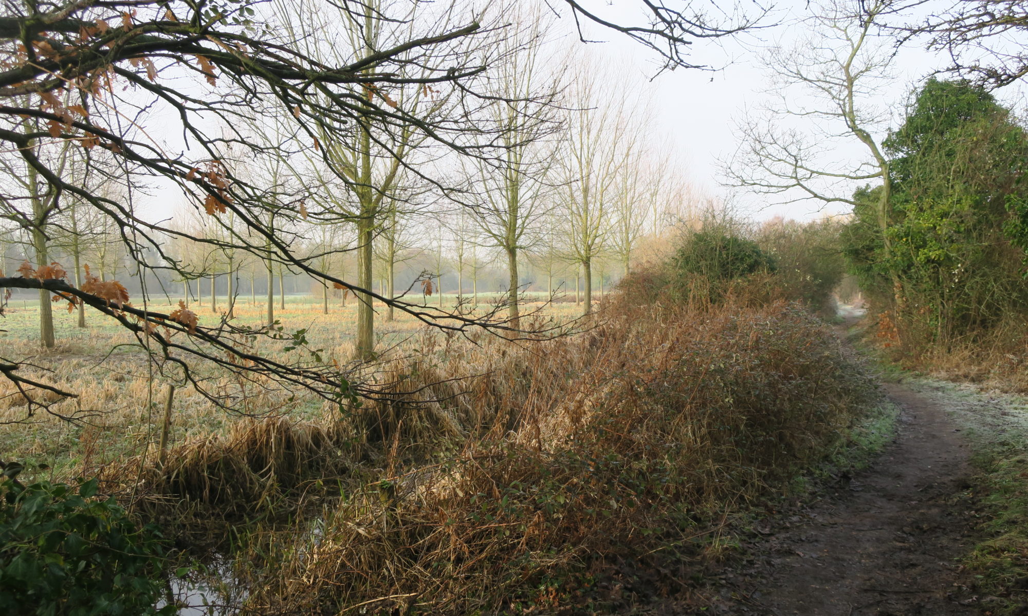
Some of you have already noticed the felling of Crack Willows in Bowthorpe Southern Park. This is to provide materials to make the path from the Bridge of Dreams to Bowthorpe residences more resilient to the flooding that occurs regularly in the Park. At present the path is being seriously eroded. The willow will be used as edging on both sides of the path to slow the water down and prevent it from washing away the path. The willow logs will be fixed and laid in shallow trenches on both sides of the path.
The flood water is causing the most damage around the culvert pipes. This will be reduced by installing stone gabion baskets filled with reject flints, again to slow the water down, and reduce erosion of the path. The path will then be resurfaced with type one aggregate. This might look a bit harsh at first, but weather and nature will result in it softening into the landscape.
The work is being carried out by the Norwich Fringe Project and will start on Monday 28th April 2025.
The last obstruction to accessing the McCarthy Stone green space has now been removed, opening up more possibilities for circular walks in the Valley. In the original plans a stile was proposed for this access point, but YVS argued that a stile was inappropriate for a green space adjacent to a development for the over 55s.
New Strawberry Field/McCarthy Stone green space link. No stile!
The green space has been extensively planted, and so hopefully in a few years’ time the rather stark view from the Strawberry Field into the green space will be softened.