The McCarthy and Stone Planning Application 22/00298/F for Phase 3 of their development on Bluebell Road has been withdrawn. The Yare Valley Society strongly opposed the proposals in an ecological sensitive area of the Valley. It raised concerns about the high-density housing in an ecologically sensitive area, the unsatisfactory arrangements for the drainage of the site, and the lack of ecological gain. Concerns of other consultative bodies included access to the site, roads not to the standard for adoption, and unsatisfactory parking provision, as well as echoing concerns about drainage arrangements.
“Planning for the Future” paused – but threat remains
In December of last year YVS thanked members who had responded to what was a difficult government consultation document on proposals for reforms to the local planning system contained in the White Paper “Planning for the Future”. YVS and its members joined many environmental groups in expressing concerns about the adverse impact many of the reforms would have on green space and biodiversity.
It was with considerable relief among environmental groups that following a government reshuffle, which saw Michael Gove become the new housing secretary, it was announced the proposed reforms were being paused.
The CPRE (Council for the Protection of Rural England) sees this as a campaign win, but paused is not the same as stopped. We must remain alert to any possible relaunch.
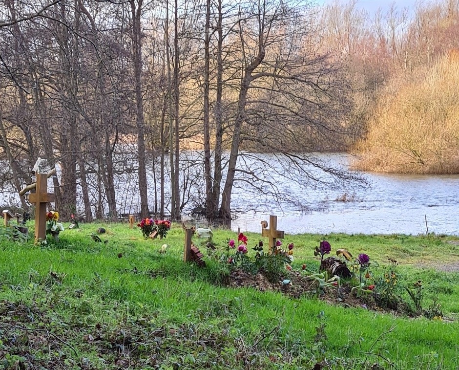
Colney Burial site gets planning go ahead
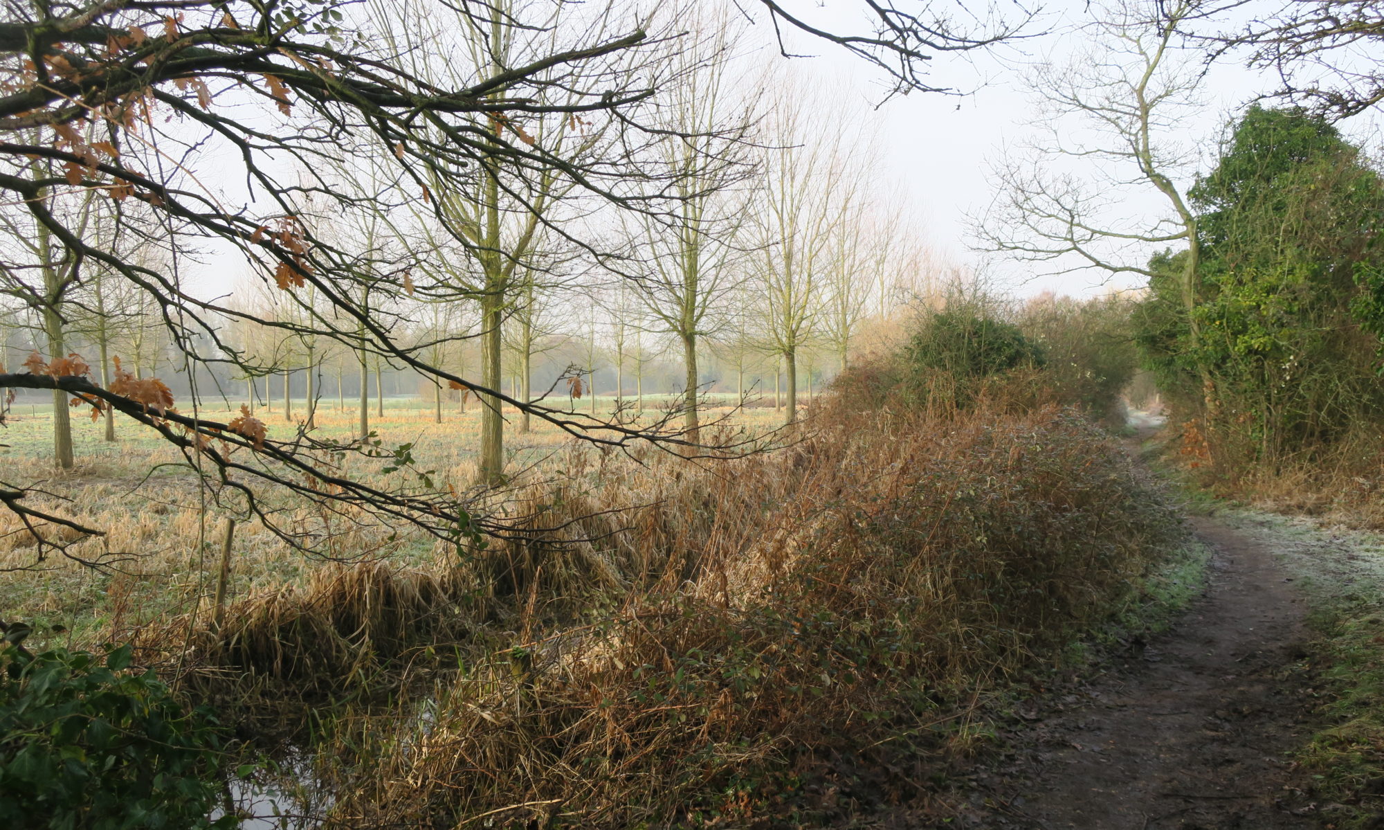
At a Zoom meeting today, the South Norfolk District Council Development Committee approved plans for the extension of the Colney Burial site. The extension borders on the River Yare and the Bowthorpe fishing lakes. It takes the form of a narrow strip close to the river connecting to a larger area to the east of the existing site
At the meeting Colney Parish and the Yare Valley Society expressed concerns before approval was given.
The Yare Valley Society pushed for the Development to safeguard, and where possible enhance, the landscape character of the valley, and for there to be no risk of pollution to the river from the burial site. Colney Parish drew particular attention to the regularity of flooding of some of the site from the river, and the increased pollution that could result.
By a vote of 4 to 1 approval was given subject to a number of conditions that went part way to addressing concerns.
Protection of the landscape and ecology will be addressed by a Landscape and Woodland Management Plan. This will include a commitment to increase the proportion of native trees and to safeguard local wildlife. The protection of a heronry will be included in the plan.
The pollution issue is complex. The Tier Two Groundwater Risk Assessment Survey for the site concluded the site to be high risk with the close proximity of the River Yare contributing significantly to the overall risk.
The Environmental Agency, as recently as November 2019, reported the Yare had unacceptable levels of chemical pollution, and that targets for improvement are likely to be missed. YVS argued that now is not the time to be accepting further pollution of our rivers by new developments. Adding more pollution to the river would not bring the pollution problem under control and would result in further damage to our river ecosystems. Flooding would add a further unknown in assessing the likelihood of river pollution.
The approval was given subject to groundwater monitoring of the site, and a flood evacuation plan being in place.
The YVS continues to be concerned about possible contamination of the river and the effectiveness of monitoring. On the positive side, an effective implementation of a Landscape and Woodland Plan should safeguard the visual attractiveness and the ecology of this part of the Valley for the foreseeable future.
Please note that an Eastern Daily Press article on the decision entitled “The hearses will have to go on boats” should have given the correct names of the representatives of Colney Parish and the Yare Valley Society as Bee Korn and John Elbro respectively.
Keswick Triangle Employment Zone
We have already reported on the approval by South Norfolk District Council of the Keswick Triangle Employment Zone. The development situated at it is in the Yare Valley close to Harford Bridge was very unwelcome and we submitted written objections. We have now had an opportunity to look at the details of the approval and the conditions attached. They confirm significant progress has been made towards mitigating the worst impacts of the development.
We argued for all of the traffic on the Mulbarton Road to be diverted via a proposed new roundabout on the Mulbarton Road and a proposed new four-way Tesco traffic light junction. The section of the road between the new roundabout and the existing vee junction with the Ipswich Road could then have been closed to all but local access traffic. This would have provided opportunities for imaginative landscaping of the road to create a buffer between the Yare Valley marshes and the development. Unfortunately, under the new proposals traffic travelling towards Norwich will still have the option to use this section, but at least the level of traffic should be reduced. More positively, a buffer zone will be provided by woodland planting along the west side of the Mulbarton Road between the track to the small Keswick church and the Norfolk Wildlife Trust wetlands. A conservation field margin will border the woodlands.
We argued for improved facilities for non-motorised users along the Mulbarton Road and kept Norwich Cycle Campaign informed of our views and objections. They submitted comments and objections that complimented ours. (Some of the early plans ignored cyclists needs almost entirely.) The proposals now include a 3.3 m wide footway/cycleway along the west side of Mulbarton road between Harford Bridge (approximately) and Mulbarton Road/Low Road (to Keswick Village) junction. The footway/cycleway will complete a safe circular route for walkers and cyclists: incorporating Church Lane, Keswick Mill, Keswick bridleway, the new footway/cycleway, Ipswich Road and Marsden Lane. It will also give safe access to the tiny Keswick All iSaints Church – an interesting detour.
We continue to hold the view that this is the wrong development for this location. At least we can feel that our representations along with those of others have lessened the impact of the development and have achieved some positive gains for the recreational users and wildlife of the Yare Valley over and above what might have been.
Go to our planning page for details of where to find the approved plans.
Approval given for Keswick Triangle Employment Zone
South Norfolk District has approved, by a 6 to 5 vote, development Application 2017/2794 Land West of Ipswich Road, Keswick.
YVS and Keswick Parish Council amongst many others opposed the application on the grounds that it breached South Norfolk District Councils Planning Policies. The Policies set aside included those on the Norwich Southern Bypass Landscape Protection Zone, the Undeveloped Approaches to Norwich, and the Site Specific Allocations and Policies. The success of this application is seen as a serious intrusion into the green fringe of Norwich.
This was the second application to develop on this site, the first was refused by a vote of 7 to 5. On a brighter note, during and between the two application processes some progress was made towards matters on which the YVS was pressing. More news once the 38 conditions attached to the application have been studied fully.