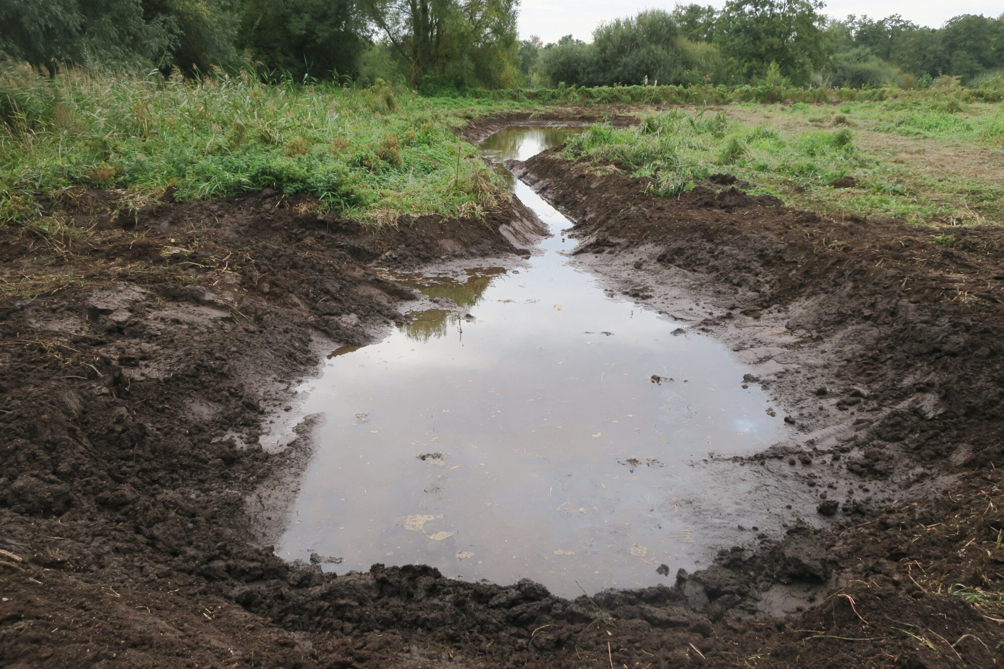
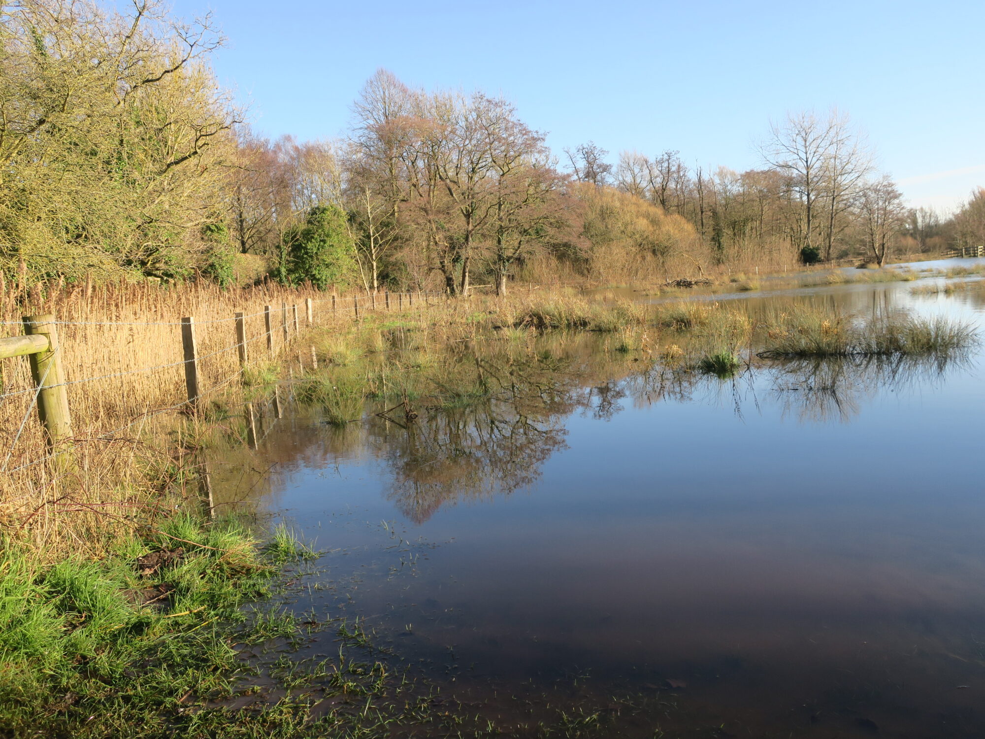
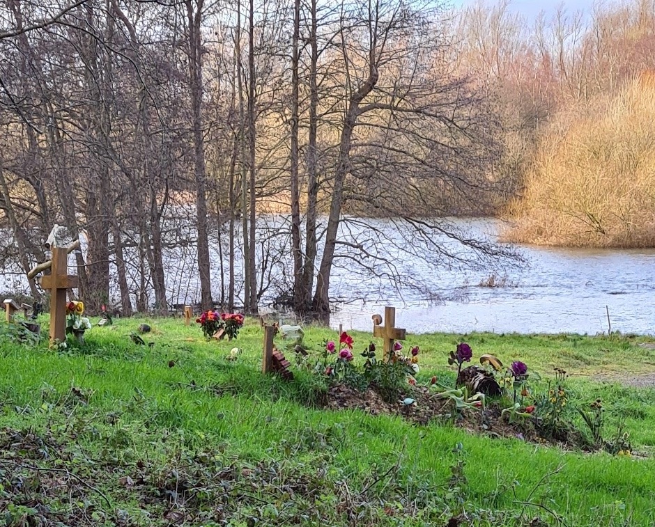
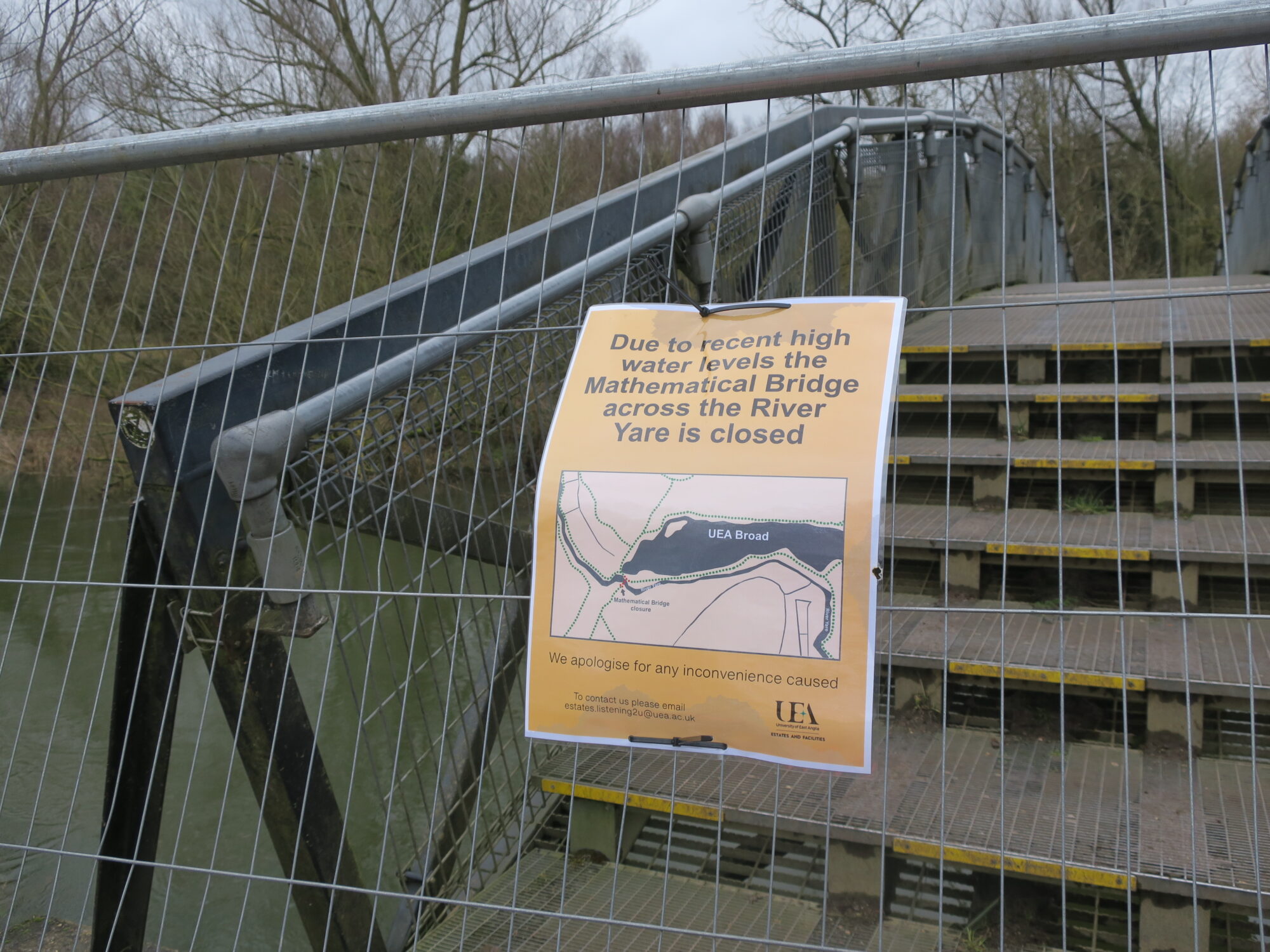
Marston Marshes Ornithological Update

No way for walkers Photo: Tim Hill
Waterbirds welcome Photo: Tim Hill

Coping with Climate Change: mitigation and resilience

Making wetlands more resilient to climate change

Norfolk Rivers Trust have been overseeing work on the wetlands between the Strawberry Field and the river. The aim is to make the wetlands more resilient to climate change. Recent extended droughts have resulted in some of the wetland peat drying out, with release of carbon dioxide, and an adverse effect on flora and fauna. Pools are being created to store more water in time of flood, the water then being available during dry periods.

In the foreground is a stilling pool. This is deep enough to reduce the velocity or turbulence of the water flowing into the pool system and encourage sedimentation prior to the water entering the main pool. The channel leads to the main water storage pool.

The channel enters the storage pool on the left. The other end of the storage pool is sloping to encourage a variety of flora and fauna habitat.

Nearby a scrape has also been created. Scrapes are shallow ponds of less than 1m depth with gently sloping sides. They hold rain or flood water seasonally and, hopefully, will remain damp for most of the year.

It all looks rather stark at the moment, but it will not be long before nature takes advantage of the opportunities offered, and all will assume a softer natural appearance.

The changes will be monitored by the Norfolk Rivers Trust to see how effective they are in reducing the drying out of the wetland. The Trust has further projects in hand to improve the effectiveness of the Yare Valley as a wildlife corridor.

Development proposed in Yare Valley Corridor

Planning applications have been submitted to Norwich City Council, South Norfolk District Council, and Broadland District Council for the development of the Deal Ground at Bracondale. The Yare Valley Society is concerned about any development that could impact on the effectiveness of the Yare Valley green corridor, from Bawburgh Lakes to Whitlingham Country Park, in its roles of sustaining biodiversity, combatting and mitigating the effects of climate change, and providing a green space for informal recreation.

The Application Number for Norwich is 23/00774/RM. The proposal is for “Reserved Matters of appearance, landscaping, layout and scale of outline planning permission 12/00875/O ‘Outline planning application (full details of access) for a mixed development consisting of a maximum of 670 dwellings; a local centre comprising commercial uses (A1/A2/A3): a restaurant/dining quarter and public house (A3/A4); demolition of buildings on the May Gurney site (excluding the former public house); an access bridge over the River Yare; new access road; car parking; flood risk management measures; landscape measures inc earthworks to form new swales and other biodiversity enhancements including the re-use of the Grade II Listed brick Kiln for use by bats.”

“The Consultation Expiry Date is 12 August 2023”

You can view comments from the public and other consultees as they are added to the application file throughout the assessment process on the council’s planning website. Search for application number 23/00774/RM and select the Comments tab. You can use the same website to make your own comments, or you can make them by email to planning@norwich.gov.uk.

To view the application made to Broadland and South Norfolk Council please visit their planning website and search for application number 2023/1825

The Yare Valley Society will be examining the application carefully, and will respond as appropriate, particularly in relation to:

Yare Valley Green Infrastructure Corridor and Parkway.

It will look for an easing of the pinch point in the valley green corridor at Lord Boswell’s Green. The pinch point section has recently been further degraded by the removal of mature trees along the drainage channel between the Green and the development. To what extent will the proposals compensate for this damage?

County Wildlife Site

The present County Wildlife Site is outside of the development area. To what extent will the integrity of the wildlife site be protected? How might its biodiversity be improved? How might public access be restricted to safeguard wildlife?

Pedestrian and cyclist links through the site

How might the pedestrian and cycle links through the site contribute to the long-term aim of a Yare Valley Walk from Bawburgh Lakes to Whitlingham Country Park. Will there be a link over Yare linking the development to the Whitlingham Country Park? How will it link with the cycling and walking routes into the City?

Flooding

Will the development increase or decrease the likelihood of flooding upstream and downstream in the Wensum and the Yare? What safeguards are being put in place?

Please have a look at this application and comment on the proposals, perhaps bearing in mind the questions raised above, as well as your own questions.

The Economics of Biodiversity: The Dasgupta Review: What is our green space worth?

Gross Domestic Product (GDP) which is currently used to compare the wealth and growth of national economies is  increasing recognised as seriously flawed for this purpose. The blind spot in this measure is that it almost completely ignores the rate at which a nation’s natural resources are being depleted, and its biodiversity is being degraded. The Dasgupta Review, commissioned by the UK Treasury and published today argues, that better economic measures need to be in place to avoid catastrophe for our planet.

You will be relieved to know there is an abridged version of the report as well as the full report. Both are available here.

Water storage on Marston Marsh

What are the economic assets of the Yare Valley that might be more highly valued? The present flooding of the Valley shows its ability to store large quantities of water and so reduce flooding and damage downriver. Its vegetation also helps by slowing the rate of water run-off. At all times the Valley is a key wildlife corridor for flora and fauna; and its wetlands act as a carbon sink. To add to all this are the mental and physical health benefits its green space ecosystems confer upon us all (See p 24 of abridged version of review). This should surely add up to a tidy sum.

Covid19 takes up almost all the news space at the moment, and many important issues are not getting the attention they deserve. We all need to make the ideas in this review more widely known, and help to ensure that it is a real milestone on our way to a sustainable future. Safeguarding and extending our green space has economic value!

Colney Burial site gets planning go ahead

At a Zoom meeting today, the South Norfolk District Council Development Committee approved plans for the extension of the Colney Burial site. The extension borders on the River Yare and the Bowthorpe fishing lakes. It takes the form of a narrow strip close to the river connecting to a larger area to the east of the existing site

At the meeting Colney Parish and the Yare Valley Society expressed concerns before approval was given.

The Yare Valley Society pushed for the Development to safeguard, and where possible enhance, the landscape character of the valley, and for there to be no risk of pollution to the river from the burial site. Colney Parish drew particular attention to the regularity of flooding of some of the site from the river, and the increased pollution that could result.

Flooding near existing burial ground

By a vote of 4 to 1 approval was given subject to a number of conditions that went part way to addressing concerns.

Protection of the landscape and ecology will be addressed by a Landscape and Woodland Management Plan. This will include a commitment to increase the proportion of native trees and to safeguard local wildlife. The protection of a heronry will be included in the plan.

The pollution issue is complex. The Tier Two Groundwater Risk Assessment Survey for the site concluded the site to be high risk with the close proximity of the River Yare contributing significantly to the overall risk.

The Environmental Agency, as recently as November 2019, reported the Yare had unacceptable levels of chemical pollution, and that targets for improvement are likely to be missed. YVS argued that now is not the time to be accepting further pollution of our rivers by new developments. Adding more pollution to the river would not bring the pollution problem under control and would result in further damage to our river ecosystems. Flooding would add a further unknown in assessing the likelihood of river pollution.

The approval was given subject to groundwater monitoring of the site, and a flood evacuation plan being in place.

The YVS continues to be concerned about possible contamination of the river and the effectiveness of monitoring. On the positive side, an effective implementation of a Landscape and Woodland Plan should safeguard the visual attractiveness and the ecology of this part of the Valley for the foreseeable future.

Please note that an Eastern Daily Press article on the decision entitled “The hearses will have to go on boats” should have given the correct names of the representatives of Colney Parish and the Yare Valley Society as Bee Korn and John Elbro  respectively.


Man of stones immersed in his landscape

Man of Stones emerges from the floods

After his survival from the floods the Man of Stones can truly be said to be immersed in his environment. He forms part of the University of East Anglia Sainsbury Centre’s Sculpture Park, and stands between the River and the University Broad. The River and the Broad became as one in the floods.


Safety concerns close UEA Mathematical Bridge

Fenced off

Routine safety checks of the Mathematical Bridge on the UEA Campus by a structural engineer has revealed that some of its foundations have been damaged by the recent flooding of the River Yare.

The UEA Estates & Facilities Division have decided to close the bridge until further notice for the safety of the public. Signage is being placed at various points entry points to the UEA Campus to warn of the closure. It hopes to put in other signage for a diversion, probably via the bridge at the end of Chancellors Drive.

The UEA Estates & Facilities Division says it is keenly aware of the importance of access to safe outdoor spaces at this time, and it hopes to resolve the the problem as quickly as possible.

Yare Valley saves homes from Christmas flooding

Christmas Day: Stile to Marston Marsh

We have become used to the Yare Valley providing an attractive and varied green space for informal recreation during the Covid19 lockdowns, but at Christmas it assumed  another important role. It became a vast floodwater storage area holding back many cubic metres of water and in doing so greatly reduced the likelihood flooding of homes situated downstream.

Boxing Day: Boardwalk at bottom of Strawberry Field

The vegetation on the slopes of the valley also had its part to play in slowing down the rate at which the heavy rain entered the river.

Boxing Day: Path on south side of University Broad

As the effects of climate change and residential development continue to make flooding events ever more frequent, the need to protect and enhance the green space of the Yare Valley becomes ever more urgent.

Christmas Day: A change of view on Marston Marsh